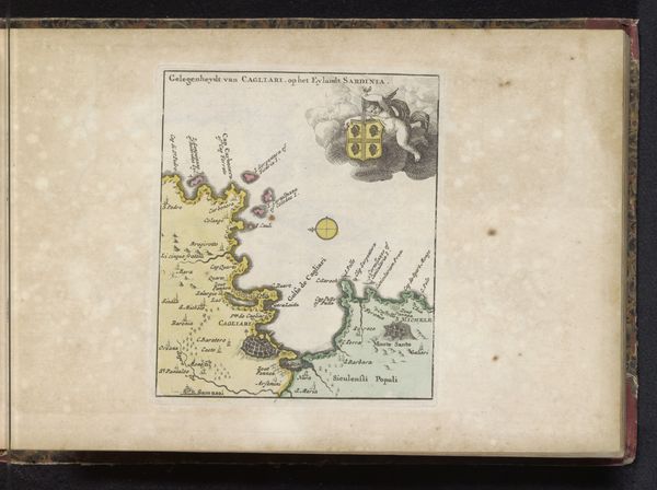
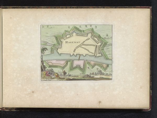
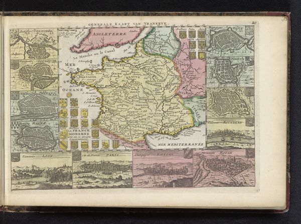
print, engraving
#
narrative-art
#
baroque
# print
#
landscape
#
perspective
#
cityscape
#
history-painting
#
engraving
Dimensions: height 128 mm, width 197 mm
Copyright: Rijks Museum: Open Domain
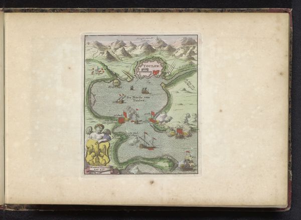
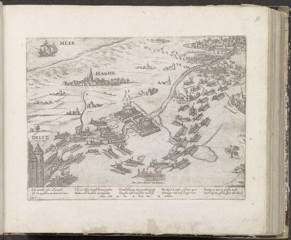
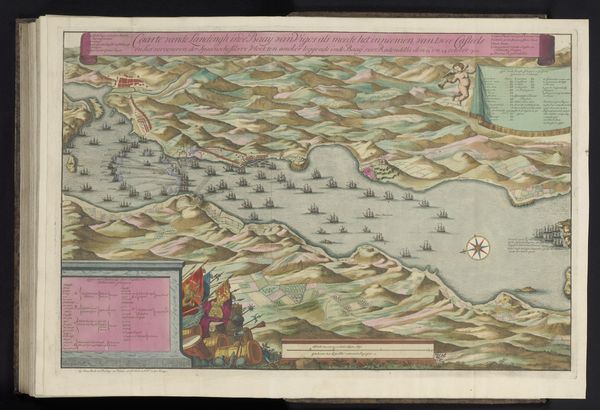
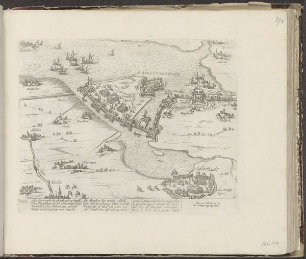
This print, titled "Zeeslag in de baai van Vigo, 1702," likely made in the early 18th century, depicts a naval battle. Though the artist is unknown, the work speaks volumes about the era’s focus on exploration, conflict, and information dissemination. The map has been realized through meticulous engraving. The fine lines defining the landmasses, ships, and even the rendering of human figures suggest a highly skilled hand. The application of color, whether by hand or early printing techniques, adds depth and clarity to the scene. Notice how the sea is carefully differentiated from the land. Maps like these were not just about geographical accuracy. They were tools of power and trade. This particular image captures the Battle of Vigo Bay, a pivotal moment in the War of the Spanish Succession. The print becomes a commodity, a collectible item that celebrates military prowess. By examining the materials and the printing process, we can start to understand the motivations behind its creation and circulation, and appreciate its significance in shaping public opinion about historical events.
Comments
No comments
Be the first to comment and join the conversation on the ultimate creative platform.
More like this