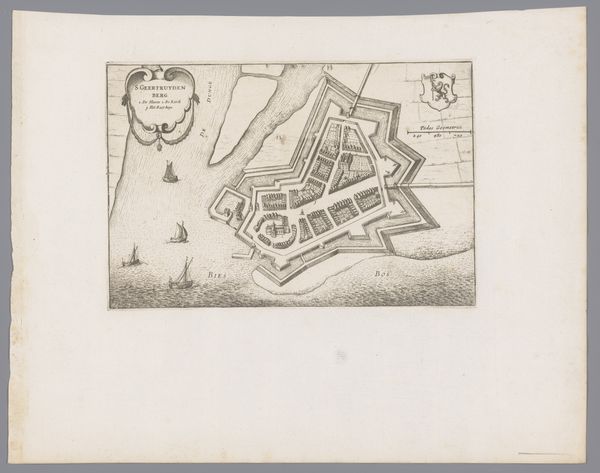
drawing, print, ink, engraving
#
drawing
#
baroque
# print
#
ink
#
geometric
#
cityscape
#
engraving
Dimensions: height 166 mm, width 202 mm
Copyright: Rijks Museum: Open Domain
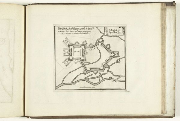
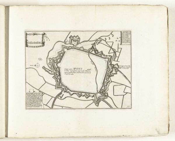
Curator: Here we have an intriguing plan of Gulik, meticulously rendered between 1686 and 1750 by an anonymous hand, crafted with ink as a drawing and engraving. The geometric structure immediately strikes me. Editor: You know, it kind of reminds me of a snowflake, if snowflakes were made of stone and strategically designed to ward off invaders. It’s almost beautiful in its deadly precision, like a mathematical poem written in fortifications. Curator: Indeed. Notice the rigorous geometric organization; the prominent citadel commanding the upper-left, juxtaposed against the organized chaos of natural streams, or moats surrounding the walls. The artist successfully juxtaposes order with nature to highlight humanity's capacity to master its environment. Editor: I’m drawn to the tiny fortress. A fortress within a fortress! It's like the city has its own stubborn, independent heart, unwilling to compromise with any enemy. It sparks the question: what was it like to live within those very intentional boundaries, with such premeditated design? Curator: That is a curious tension present in the rendering, and its inherent purpose of documentation versus lived reality. Structurally, we can read the clean lines and carefully planned angles as demonstrations of power. A kind of visual propaganda for the city itself. Editor: And it really does invite speculation. A grid where human lives are neatly filed. Almost oppressive but impressive as an achievement. In a time before photography, illustrations like this were marketing for people. But look, they survived, this still lives as a testament to the creator and creation. Curator: A fascinating way to express its artistic intent, truly. The technical rendering and precise engraving invite a certain level of formal engagement. We could even read the image as a network of vectors expressing political ambition and strength. Editor: Ultimately it gets you wondering. Those careful lines represented actual buildings, homes, lives, worries... It all feels like an old, forgotten dream now captured as a faint imprint from the past. Curator: Yes, it allows us a measured and meticulous way of viewing the city in its context. Thank you for those humanistic reflections. Editor: Thanks, it was quite fun looking at Gulik from two totally different points.
Comments
No comments
Be the first to comment and join the conversation on the ultimate creative platform.
More like this