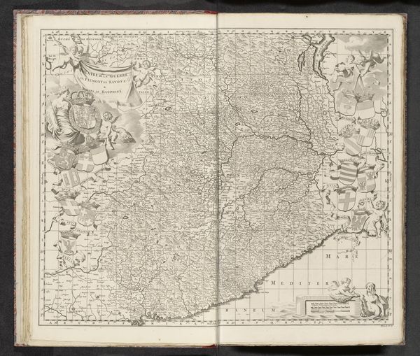
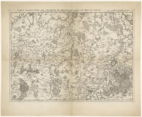
Kaart van het strijdtoneel in Lombardije, 1701-1713 Possibly 1701 - 1729
0:00
0:00
anonymous
Rijksmuseum
drawing, print, ink, engraving
#
drawing
#
baroque
# print
#
landscape
#
ink
#
geometric
#
engraving
Dimensions: height 508 mm, width 590 mm
Copyright: Rijks Museum: Open Domain
Editor: This is "Kaart van het strijdtoneel in Lombardije, 1701-1713," a detailed map, possibly created between 1701 and 1729, rendered in ink and engraving. What strikes me is how this seemingly objective depiction of land evokes a sense of tension, given the title referring to a “battlefield.” How do you read the imagery here? Curator: Indeed. While ostensibly a practical tool, consider the cultural weight a map like this carries. Maps aren’t neutral. They delineate territories, both physical and psychological. Notice the ornate cartouche and other flourishes. Do these serve solely a decorative purpose, or do they project a certain authority, a claim of ownership over this "battlefield"? Editor: I see what you mean. The details almost romanticize the landscape despite its intended purpose for war. Are there specific symbols or motifs that stand out to you in terms of their historical significance? Curator: Absolutely. Observe the clear, almost idealized depiction of geographical features. Each river, mountain, and city is carefully rendered. What does this precision communicate about the mapmaker's intention, and perhaps the agenda of those who commissioned the work? Could it be a subtle attempt to assert control, to impress upon viewers the scale of their domain, even amid conflict? Editor: That's a compelling idea. I hadn’t considered how the aesthetic choices reinforce power dynamics. This map is more than just a navigational tool; it’s a statement. Curator: Precisely. Consider too, the permanence the act of engraving bestows. It signifies an intention to inscribe this vision of Lombardy into the cultural memory, regardless of shifting political realities. The image becomes a symbolic assertion. Editor: So, beyond just showing what is, the map actively shapes how people understand and remember the area, especially its role in conflict. Curator: Exactly. Maps tell stories, often very carefully constructed ones. Editor: I see the landscape, and I see an argument. Curator: Indeed. We found another layer within this map.
Comments
No comments
Be the first to comment and join the conversation on the ultimate creative platform.
More like this