print, engraving
#
pen drawing
#
dutch-golden-age
# print
#
flemish
#
engraving
Dimensions: height 232 mm, width 346 mm
Copyright: Rijks Museum: Open Domain
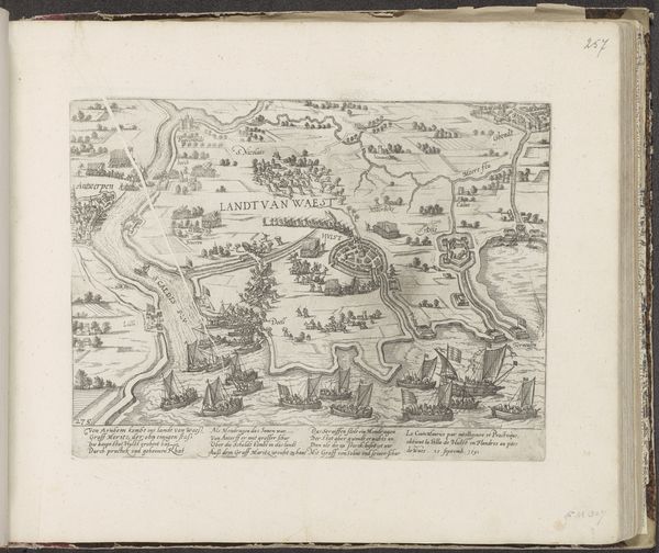
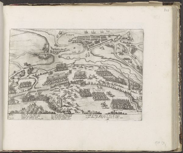
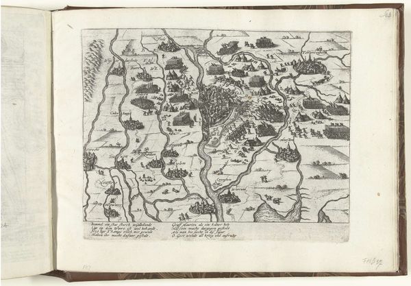
This is Frans Hogenberg’s ‘Map of Flanders’, made in 1604 using engraving. The incised lines are a testament to the engraver's skill. These lines form a visual language that offers a bird's-eye view of the region, and this detailed rendering provides valuable geographical information. The map's importance isn't just geographical; it is cultural and historical. It shows the economic activity of the time, particularly evident in the lower part of the map. Here, an armada of ships signifies Flanders's role in maritime trade and naval power. The engraving process itself is labor-intensive, requiring both technical expertise and artistic sensibility. The engraver’s work mirrors the labor involved in seafaring and trade represented on the map, which underscores how modes of production and capitalism were intertwined with artistic creation. In appreciating this map, we recognize the labor, skill, and social context that shaped its creation, moving beyond simple appreciation to a richer understanding of its significance.
Comments
No comments
Be the first to comment and join the conversation on the ultimate creative platform.
More like this