print, paper, engraving
# print
#
paper
#
geometric
#
engraving
#
realism
Dimensions: height 281 mm, width 488 mm
Copyright: Rijks Museum: Open Domain
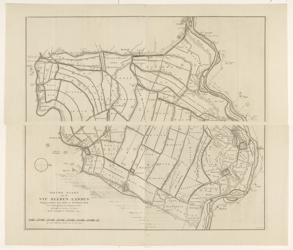
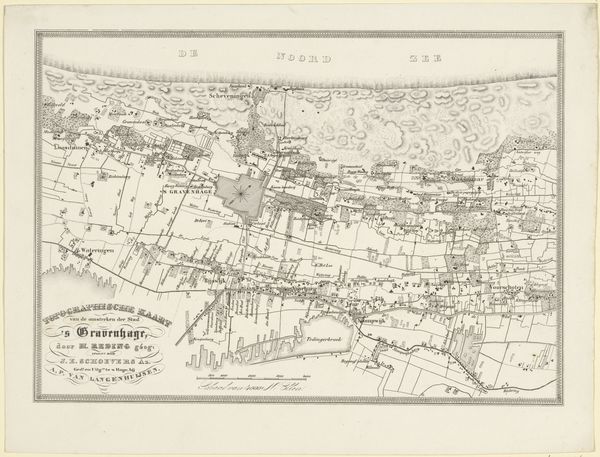
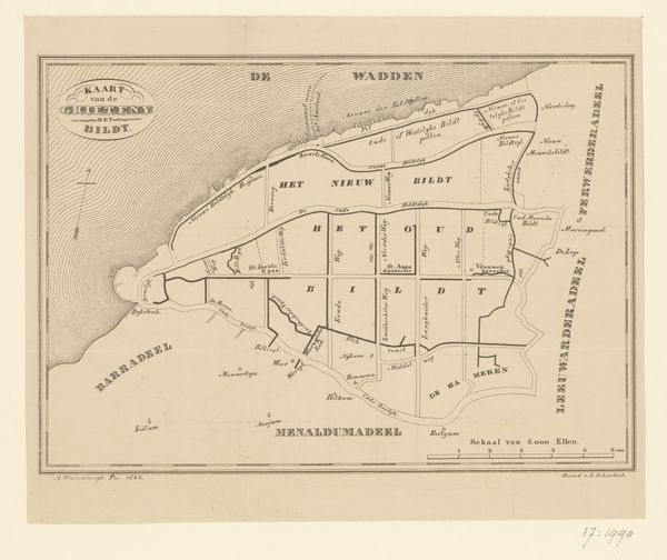
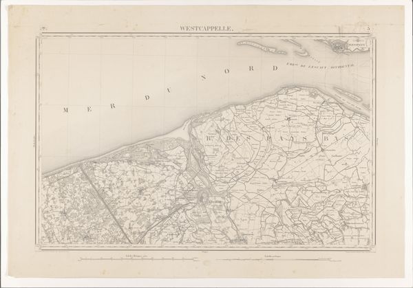
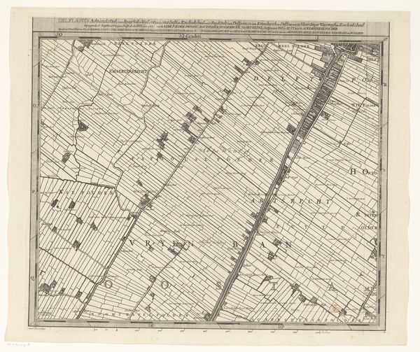
This map of Drachten, made by S.J. Zovele in 1840, offers insights into 19th-century Dutch society through the lens of material production. Printed on paper, likely using an engraving technique, the map meticulously details the region's layout. Consider the labor involved: from surveying the land to the skilled hand of the engraver, each line represents hours of meticulous work. The map isn't just a depiction of geography, but a record of human intervention, dividing the land into parcels and organizing it for administrative and economic purposes. The very act of mapping is a form of control, imposing order onto the landscape and facilitating its exploitation. The regular, linear fields suggest an agricultural system optimized for production and profit. This wasn't just a representation of space; it was a tool for managing resources, reflecting broader social issues of land ownership, labor, and the distribution of wealth. By attending to the materials and making of this map, we can see how seemingly straightforward objects can reveal complex histories of power and production.
Comments
No comments
Be the first to comment and join the conversation on the ultimate creative platform.
More like this