1843
Kaart van de grietenij Het Bildt
Listen to curator's interpretation
Curatorial notes
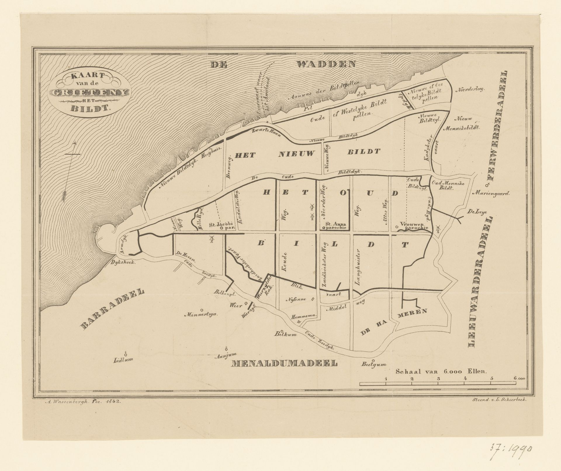
This map of Het Bildt was made by A. Wassenbergh at an unknown date, using an engraving technique. Maps like this weren't just about geographical accuracy, they were also tools of power. Consider the time and place of its making, likely the Netherlands, where land reclamation was a major engineering feat, and a source of national pride. Mapping this new territory was an act of claiming it, turning it from a wild space into a managed, productive landscape. It reflects a society deeply invested in controlling its environment, driven by economic interests in agriculture and trade. The very act of creating this map speaks to the relationship between institutions, knowledge, and control. To understand this work fully, we might turn to archives of land surveys, engineering reports, and economic records. Art historians use these sources to investigate how a society's values and ambitions become inscribed in its images.