print, engraving
#
dutch-golden-age
# print
#
old engraving style
#
landscape
#
cityscape
#
engraving
Dimensions: height 644 mm, width 373 mm
Copyright: Rijks Museum: Open Domain
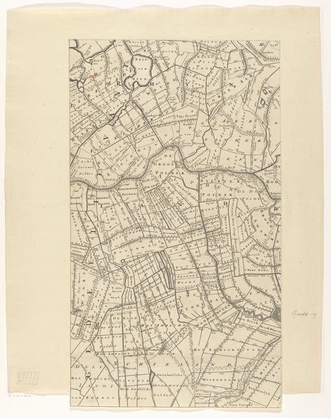
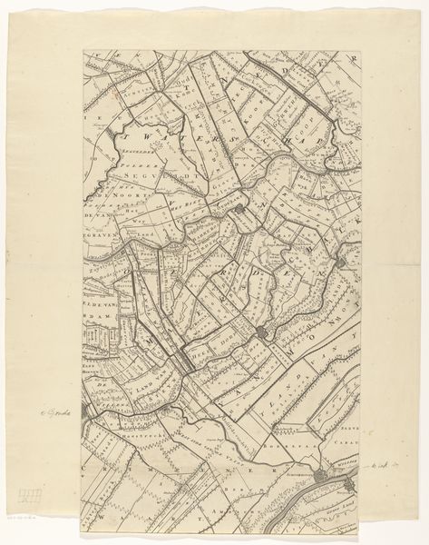
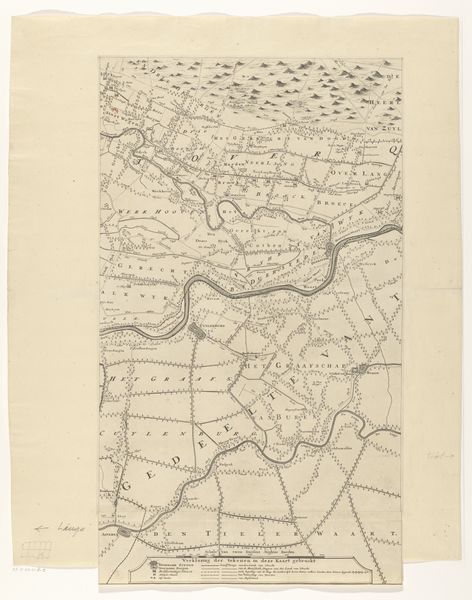
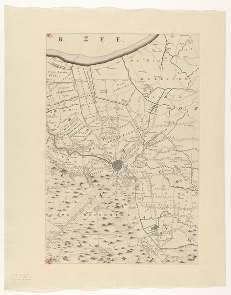
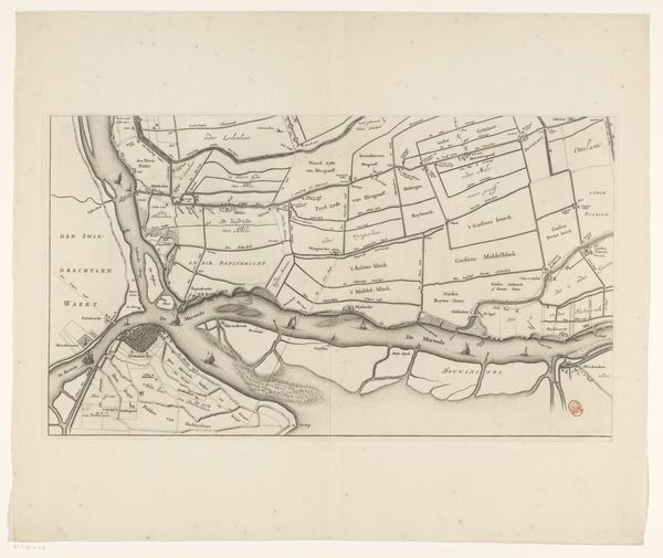
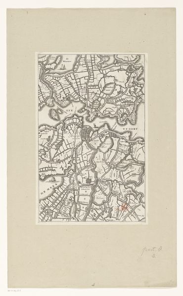
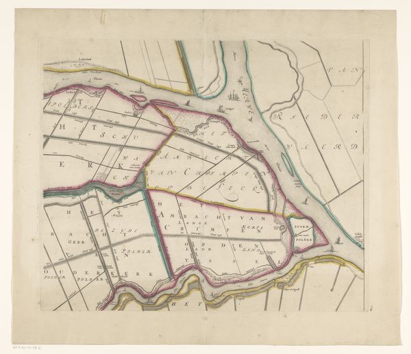
This is Thomas Doesburgh’s map of the province of Utrecht, made using an engraving technique. The map, of course, charts geographical features of the Netherlands. Yet it also illustrates a particular idea of land ownership. We can consider what the map includes and excludes. The map shows a settled landscape. But what about the people who lived and worked there? The map illustrates something of the social structure of the time, but it also hides a lot of social relations that were important to the time it was made. By consulting historical records and archives we can learn more about the people who lived and worked in this area, and about how they related to the land. We learn to see the map not just as a record of geographical space, but also of cultural and institutional forces.
Comments
No comments
Be the first to comment and join the conversation on the ultimate creative platform.
More like this