drawing, print, ink, engraving
drawing
old engraving style
landscape
ink
geometric
cityscape
engraving
Dimensions: height 406 mm, width 508 mm
Copyright: Rijks Museum: Open Domain
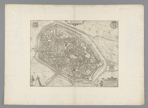
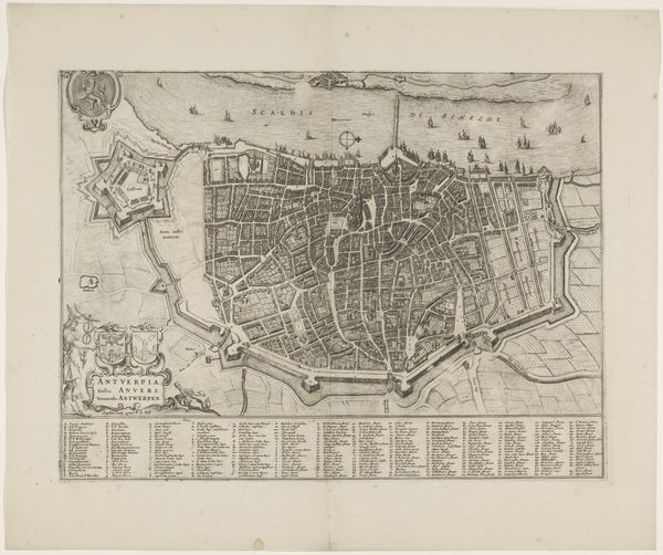
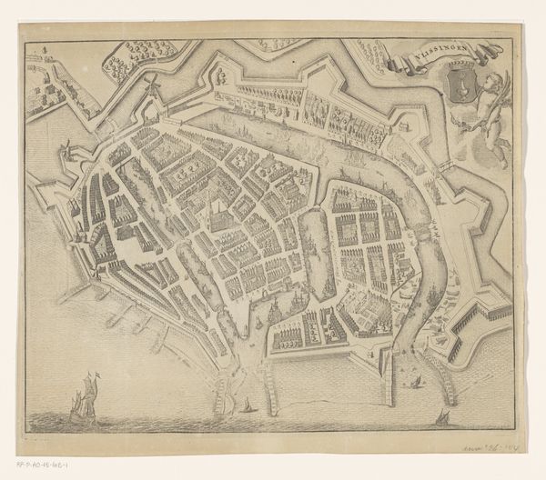
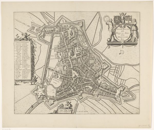
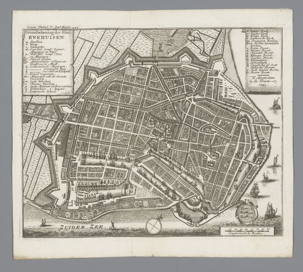
Curator: This is an intriguing piece: "Plattegrond van Ieper," or "Map of Ypres," a drawing and print rendered in ink and engraving. Although made anonymously, it is believed to have been created sometime between 1657 and 1728. What are your first thoughts? Editor: A visually dense composition. The strong lines of the fortifications surrounding what seems to be a rather vulnerable cluster of buildings… the almost obsessive level of detail, yet remaining monochrome! Curator: Indeed, notice how the city is depicted from a bird’s-eye view. We see this perspective utilized quite often in the mapping and planning of cities. You can follow the intricate road networks and prominent buildings within the city walls. What does the interplay of material processes tell us? Editor: Well, the medium itself, the use of ink and engraving suggests a functional object meant for dissemination. Consider the labor invested: The engraver meticulously translates the mapmaker’s survey into reproducible form—possibly even copied and redistributed. There's social utility built into the materials! Curator: And structurally, observe the deliberate contrast between the organic irregularity of the inner city against the rigid, almost geometric precision of its defensive architecture. The bastions extending outwards at precise angles are key. Editor: Those geometries reflect function: protection. Yet, it’s interesting how the aesthetic and defensive concerns are integrated. Those sharp points extending into the landscape, they carve into nature as much as defend against invasion. A relationship of dominion between urban space and nature… fascinating. Curator: Also notice the scale! This isn’t just art for art's sake; this provides actionable intel for citizens, rulers, or invading armies, perhaps, a form of knowledge production in itself. It’s all rather fascinating to reflect upon the myriad levels upon which its utility lies. Editor: Agreed, a deceptively rich visual document of the tensions inherent to city building, defense, and power. Makes you wonder about the stories within. Curator: I’m also interested to reflect on the tension it presents; between a supposed comprehensive view and the inherent subjectivity present in deciding what features to omit, prioritize and stylize, so on and so forth. Thank you, this has been insightful!
Comments
No comments
Be the first to comment and join the conversation on the ultimate creative platform.