drawing, print, paper, watercolor
#
drawing
#
baroque
# print
#
landscape
#
paper
#
watercolor
#
cityscape
#
watercolour illustration
Dimensions: height 191 mm, width 265 mm, height 532 mm, width 320 mm
Copyright: Rijks Museum: Open Domain
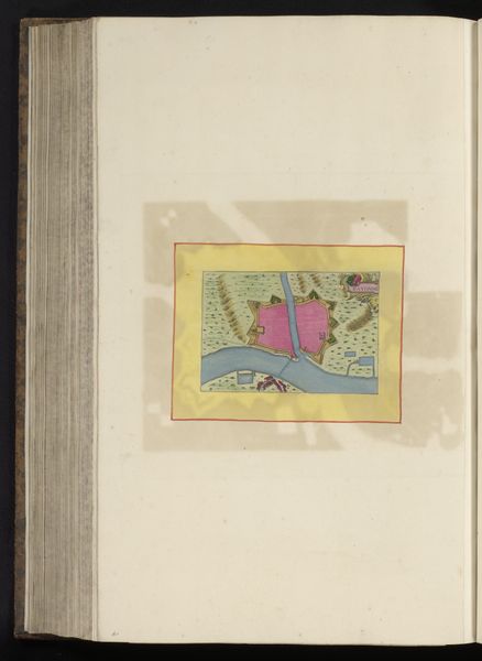
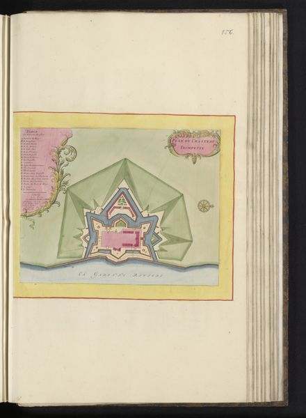
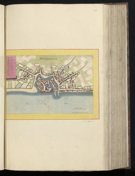
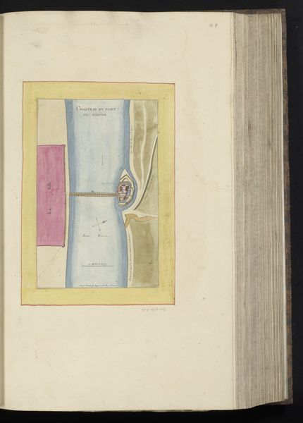
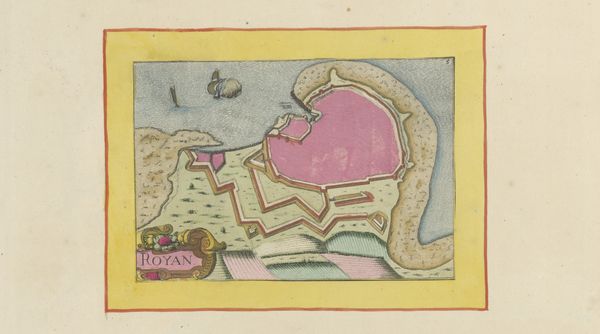
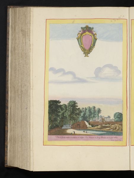
This map of the area around Ambleteuse, created by an anonymous artist, presents a fascinating interplay of form and function. The composition is neatly organized within a bordered rectangle, harmonizing the natural and the artificial. The land is distinguished by browns and greens, while the water by blues, providing a clear visual structure. The map uses semiotic elements such as the architectural shapes of the forts and the organic patterns of the landscape to create meaning. These shapes act as signs pointing to both the strategic importance and the natural characteristics of the area. The map's structure, through its balanced composition and use of colour, may reflect a desire to impose order and understanding on the complex environment. Consider the interplay between the detailed representation of the land and the abstract rendering of strategic locations. This tension between observation and representation challenges fixed perspectives. The map invites us to reflect on how we construct knowledge through the visual organisation of space.
Comments
No comments
Be the first to comment and join the conversation on the ultimate creative platform.
More like this