print, engraving
# print
#
landscape
#
history-painting
#
engraving
Dimensions: height 161 mm, width 183 mm
Copyright: Rijks Museum: Open Domain
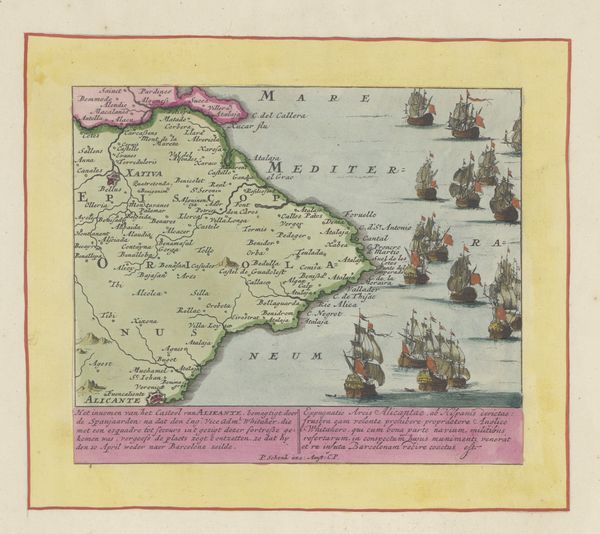
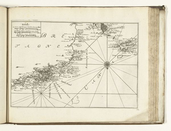
Pieter Schenk's map of Sardinia, likely made in the late 17th century, presents us with symbols of power and dominion. The island itself, rendered with careful detail, becomes a territory, while the multitude of ships surrounding it are powerful symbols of maritime strength and control. Consider the ship as a motif that traverses time and cultures. In ancient Egypt, ships carried souls to the afterlife; in Norse mythology, they bore Viking warriors to new shores. Here, the ships are not just vessels but instruments of political will, a manifestation of earthly power and strategic intent, carrying echoes of past naval conquests and colonial ambitions. There is a deep, psychological resonance in these symbols: the island representing a fixed point, a place of refuge or contention, versus the ships as active agents, projecting power across the fluid expanse of the sea. This tension speaks to our collective memory of territorial struggles and the ever-present human drive for exploration, conquest, and the establishment of dominion over new territories. The evolution of these symbols underscores history's cyclical nature, where motifs reappear, transformed but never entirely divorced from their primordial origins.
Comments
No comments
Be the first to comment and join the conversation on the ultimate creative platform.
More like this