print, engraving
#
baroque
# print
#
history-painting
#
engraving
Dimensions: height 233 mm, width 304 mm
Copyright: Rijks Museum: Open Domain
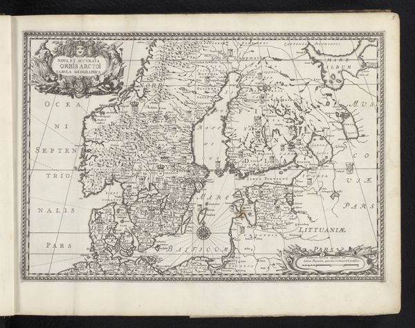
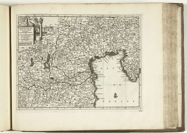
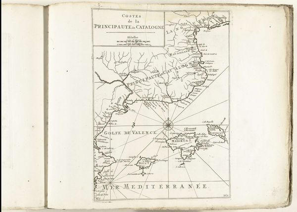
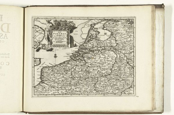
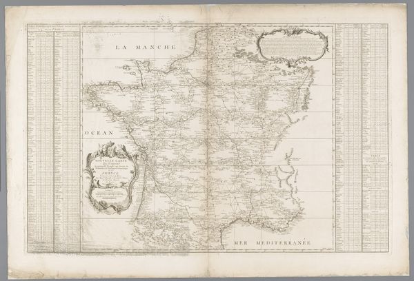
This is an anonymous map of France from 1726. It's rendered in ink on paper, offering us a structured view of geographical space. The map presents a network of information, where lines denote borders and rivers, and meticulously placed names indicate cities. The overall composition creates a sense of order, reflecting the Enlightenment's pursuit of reason and categorization. Yet, it is not a neutral document. The inclusion of decorative elements, such as the figures and flags, betrays a subtle ideological framing. The map functions as a system of signs, each component referring to a specific geographical or political entity. The stark contrast between the land and sea and the density of text versus empty space directs our gaze, emphasizing certain areas over others. It invites us to decode not just geographical data, but also the cultural and power structures embedded within its design. It is a structured representation, a cultural artifact, and an invitation to constant re-evaluation.
Comments
No comments
Be the first to comment and join the conversation on the ultimate creative platform.
More like this