drawing, print, paper, ink, engraving
#
drawing
#
aged paper
#
toned paper
# print
#
pen sketch
#
old engraving style
#
landscape
#
paper
#
personal sketchbook
#
ink
#
geometric
#
pen-ink sketch
#
pen and pencil
#
line
#
pen work
#
sketchbook drawing
#
history-painting
#
sketchbook art
#
engraving
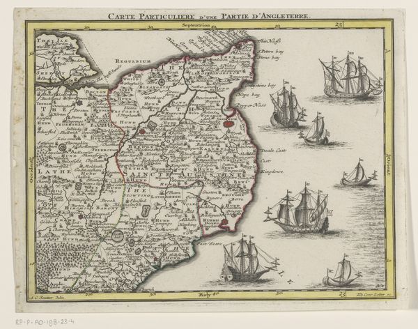
Dimensions: height 445 mm, width 565 mm
Copyright: Rijks Museum: Open Domain
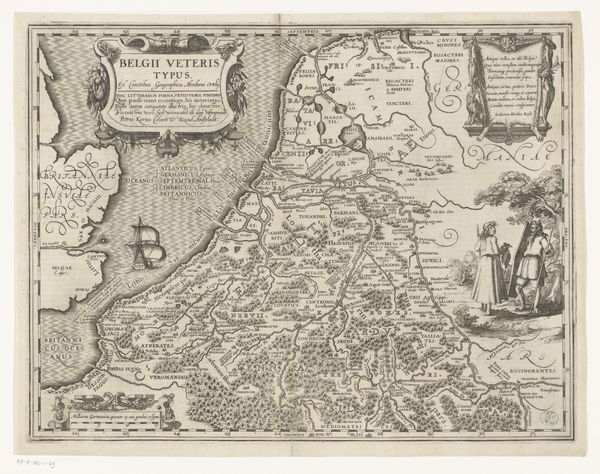
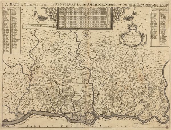
Jacobus Harrewijn produced this map of Southwest England in 1709, rendering its geography with ink on paper. At the time, maps were more than just navigational tools; they were instruments of power. Consider the prominent display of ships, signifying England's naval strength and its control over maritime trade routes. This map reflects the economic interests of the Dutch Republic, which had a large mercantile fleet, and sought to maintain dominance in international commerce. The map also illustrates the social order of the time. The detailed depiction of towns and estates reflects the importance of land ownership and the power of the aristocracy. Meanwhile, the absence of detailed information about rural areas may reflect the limited attention given to the lives and livelihoods of ordinary people. By consulting historical archives, maritime records, and economic treatises, we can gain a more complete understanding of this map’s social and institutional context. It reminds us that art is never created in a vacuum, but is always shaped by the prevailing social, political, and economic forces of its time.
Comments
No comments
Be the first to comment and join the conversation on the ultimate creative platform.
More like this