print, engraving
dutch-golden-age
pen sketch
old engraving style
landscape
perspective
geometric
cityscape
engraving
Dimensions: height 322 mm, width 438 mm
Copyright: Rijks Museum: Open Domain
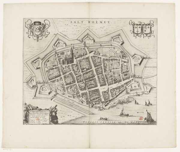
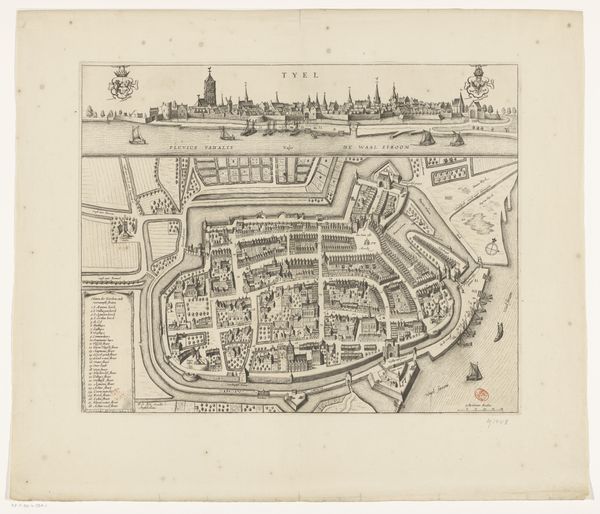
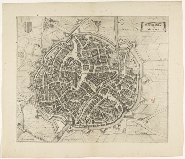
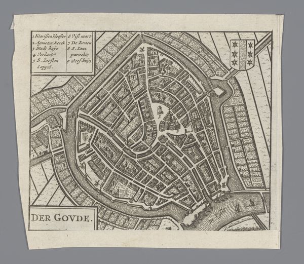
Frans Hogenberg created this detailed map of Groningen using engraving, likely in the late 16th century. His work provides a window into a society deeply shaped by its relationship to space and power. The map is more than just a geographical tool, it's a cultural artifact that hints at the prevailing social order. It reveals the city's fortifications, reflecting an era of conflict and the ever-present need for defense. The placement of key structures, like churches or administrative buildings, subtly underscores their importance within the community's life. Consider how maps like this one served to define territory, assert ownership, and control movement. Who was included, and who was left out? How did this representation of space impact the lives of those who lived within and beyond its borders? While seemingly objective, this map offers a perspective, shaped by the artist's own position and the needs of his patrons, offering a glimpse into the complex interplay between space, power, and identity.
Comments
No comments
Be the first to comment and join the conversation on the ultimate creative platform.