print, engraving
#
dutch-golden-age
# print
#
cityscape
#
engraving
#
realism
Dimensions: height 419 mm, width 545 mm
Copyright: Rijks Museum: Open Domain
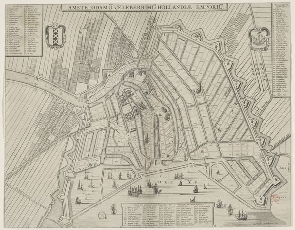
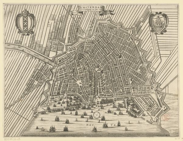
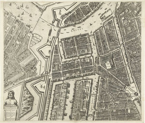
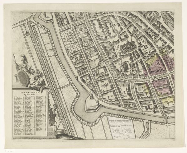
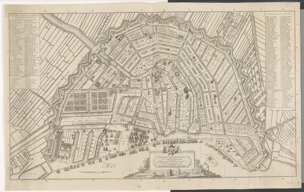
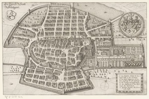
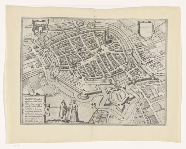
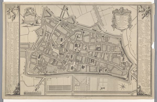
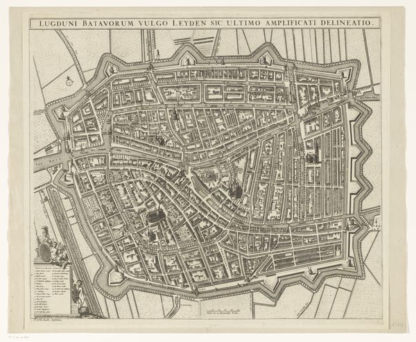
Here is an anonymous map of Amsterdam made using engraving. In the absence of an identified artist, we might ask ourselves about the implications of anonymity in art. This map offers a structured view of Amsterdam; its grid-like layout reflects a period of intense urban and economic development. Amsterdam, as a port city, was a nexus for global trade, including the trade of enslaved peoples. This map reveals nothing of the human cost, nothing of the cultural exchanges, nothing of the struggles and negotiations that such a dense space both fostered and necessitated. It reduces a complex social reality to a set of lines and boundaries. This cartographic representation is telling of the way power operates through control and organization. In its meticulous depiction of space, we might also see an emotional dimension—a desire to order and understand a world that was rapidly changing.
Comments
No comments
Be the first to comment and join the conversation on the ultimate creative platform.
More like this