print, engraving
dutch-golden-age
old engraving style
ink line art
thin linework
pen work
cityscape
technical line art
engraving
Dimensions: height 517 mm, width 589 mm
Copyright: Rijks Museum: Open Domain
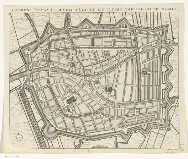
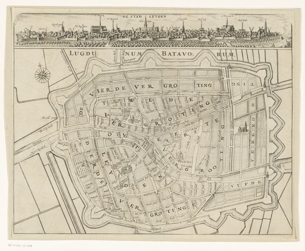
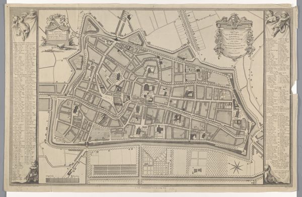
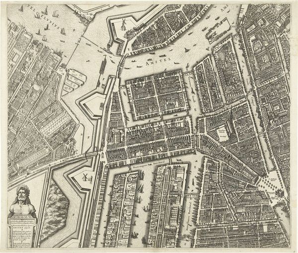
This is an undated map of Leiden, created by an anonymous artist. Maps, like this one, are ostensibly about objective space, but they are always subjective. They reflect power. They tell us who has the authority to define and represent a place. And who is included or excluded in that representation. This map shows a carefully planned and ordered city, surrounded by fortifications. But what about the lives of the people who lived within those walls? Who built the city, who cleaned the streets, who were the marginalized communities hidden in the alleys and shadows? Maps like this often erase those stories. So, as you look at this "Plattegrond van Leiden," I encourage you to think about what is shown, but also about what is left out. Whose stories remain untold, and how might we find ways to bring those hidden histories to light?
Comments
No comments
Be the first to comment and join the conversation on the ultimate creative platform.