print, engraving
# print
#
11_renaissance
#
geometric
#
cityscape
#
engraving
Dimensions: height 460 mm, width 789 mm
Copyright: Rijks Museum: Open Domain
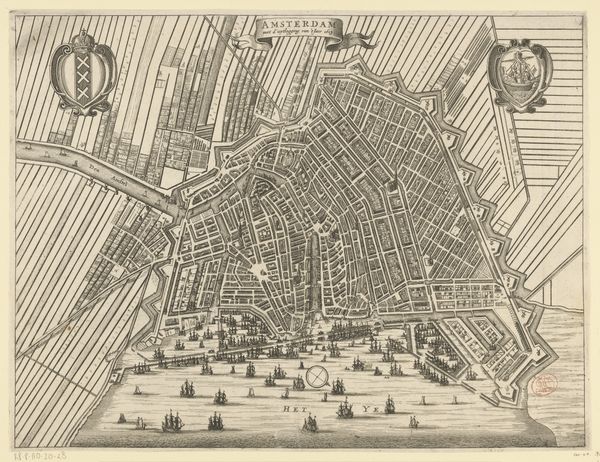
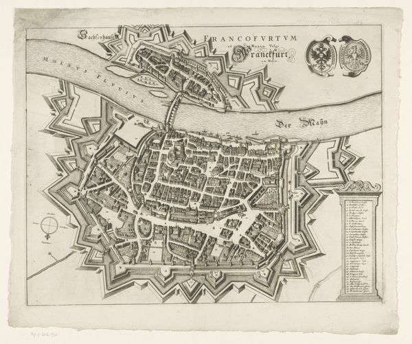
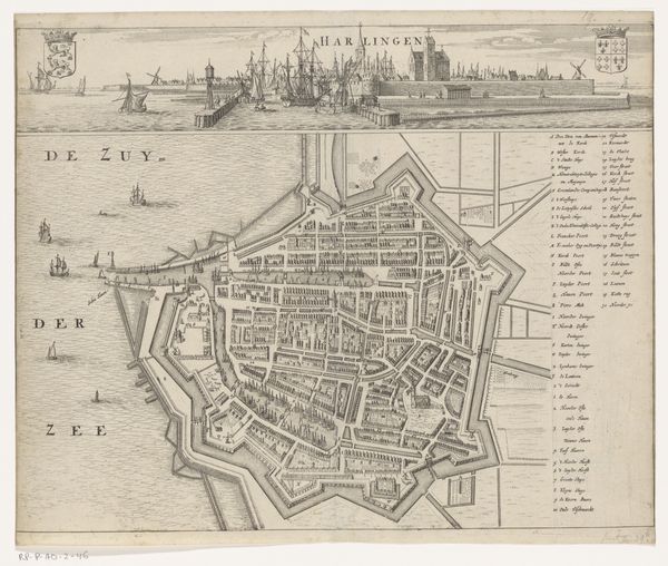
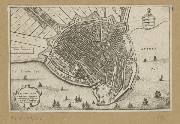
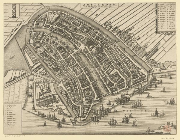
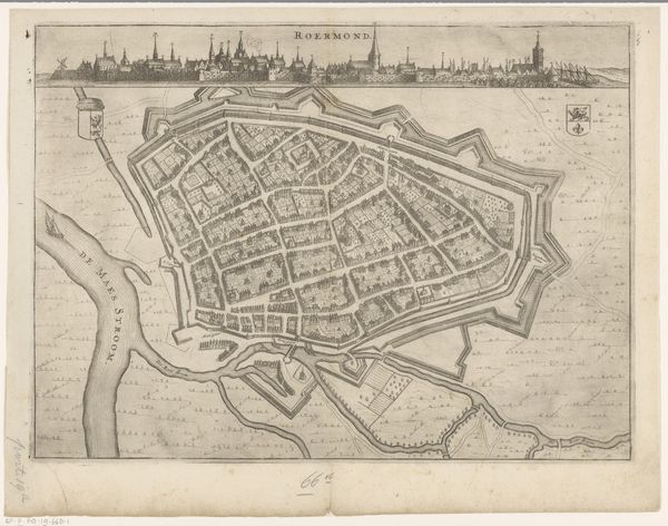
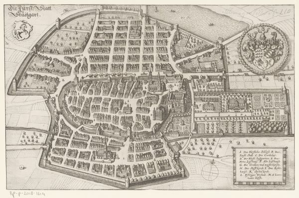
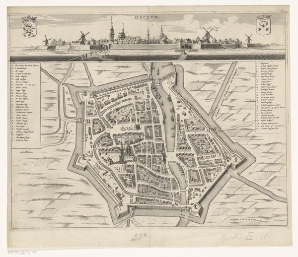
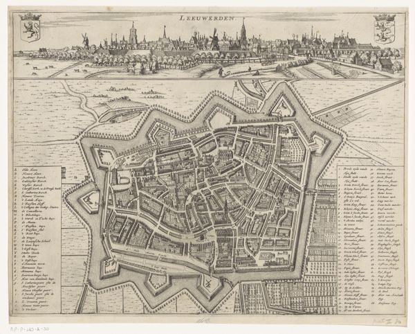
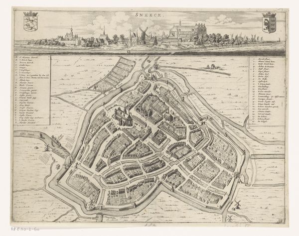
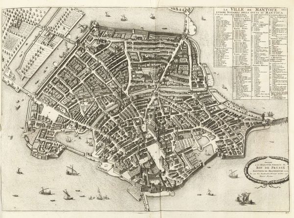
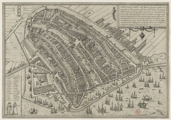
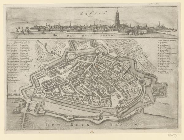
This is an anonymous map of Antwerp, made using engraving, a printmaking technique that involves carving lines into a metal plate. The image is dominated by the textures created by the engraver's burin. The burin is a tool that demands great precision to carve an image into a metal plate, leaving clean, sharp lines. When the plate is inked and printed, these lines define the forms of buildings, streets, and fortifications. The anonymous artist has used line and hatching techniques to create an illusion of depth and detail. Engraving was crucial in Antwerp's economic history; It allowed for the wide dissemination of visual information, fueling trade and cultural exchange. The production of prints like this involved the skilled labor of artisans and reflects the city's role as a centre for commerce, artistry, and craftsmanship. In this way, it is a reminder of the intertwining of art, labor, and capitalism. The fact that this particular map is unsigned only underscores the collective nature of the image production process.
Comments
No comments
Be the first to comment and join the conversation on the ultimate creative platform.
