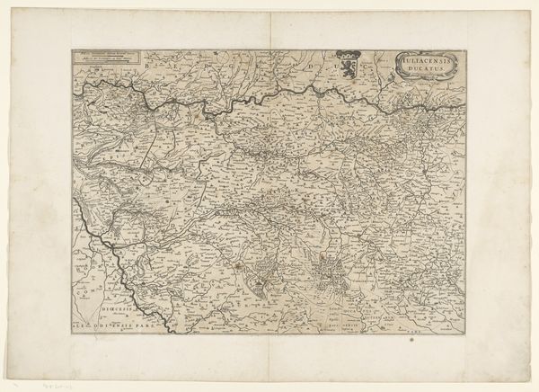
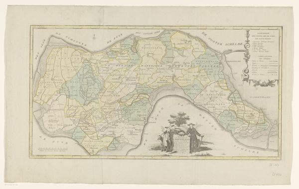
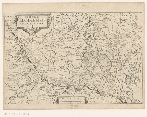
drawing, print, etching, engraving
#
drawing
#
neoclacissism
# print
#
etching
#
landscape
#
etching
#
geometric
#
cityscape
#
history-painting
#
engraving
Dimensions: height 555 mm, width 676 mm
Copyright: Rijks Museum: Open Domain
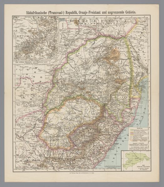
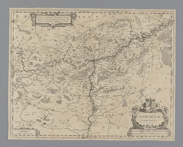
This detailed map, meticulously crafted by an anonymous hand, unveils the eastern coast of the United States. Look closely at the boundary lines which serve as symbolic divisions. Throughout history, maps have served not only as navigational tools but also as potent symbols of power and knowledge, echoing across civilizations from ancient Rome to the Age of Exploration. In earlier times, a map of the world was not just a layout of geographical data, but a declaration of dominion. Think about the psychological implications of delineating a territory on paper. What happens when a line becomes a boundary? The act of mapping embodies a profound psychological assertion: the human desire to understand, control, and impose order upon the unknown. Observe how this cultural artifact has been used throughout history as an assertion of control. Note how, in modern times, the symbol persists.
Comments
No comments
Be the first to comment and join the conversation on the ultimate creative platform.
More like this