print, etching
#
architectural sketch
#
aged paper
# print
#
etching
#
old engraving style
#
architectural plan
#
landscape
#
etching
#
architectural section drawing
#
architectural drawing
#
architecture drawing
#
architectural proposal
#
cityscape
#
storyboard and sketchbook work
Dimensions: height 610 mm, width 847 mm
Copyright: Rijks Museum: Open Domain
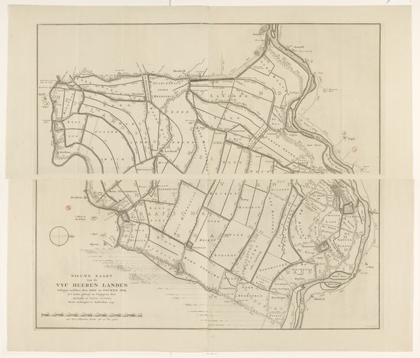
Daniël Veelwaard made this map of Gooi in the Netherlands. Maps are not neutral. They reflect not just geographical information, but cultural and political priorities. Consider the history of cartography. From the Age of Exploration to the colonial era, maps were tools of power, used to claim territories and control resources. This particular map, which depicts the region of Gooi in the Netherlands, was made in a period of significant change, with new institutions and changing power dynamics. The level of detail included speaks to a growing interest in understanding and managing space. Note the careful delineation of property boundaries. As a historian, I might look at land records, local histories, and other archival materials to understand how land ownership and use were changing in this period, and what these changes meant for the people who lived here. Art provides a unique lens through which we can examine the past. Its meaning is contingent on context and interpretation.
Comments
No comments
Be the first to comment and join the conversation on the ultimate creative platform.
More like this