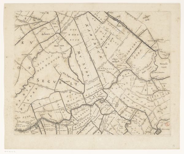
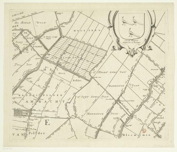
Kaart van het dijkgraafschap van de Vier Noorder Koggen (deel linksonder) 1731
0:00
0:00
hendrikdeleth
Rijksmuseum
drawing, print, paper, ink, engraving
#
drawing
# print
#
pen sketch
#
landscape
#
paper
#
ink
#
geometric
#
genre-painting
#
engraving
Dimensions: height 480 mm, width 587 mm
Copyright: Rijks Museum: Open Domain
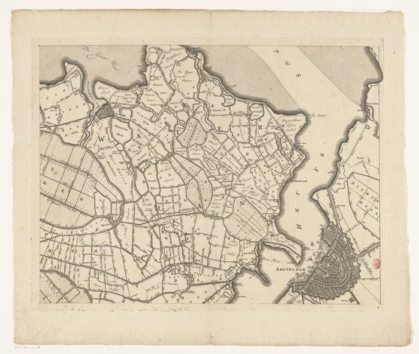
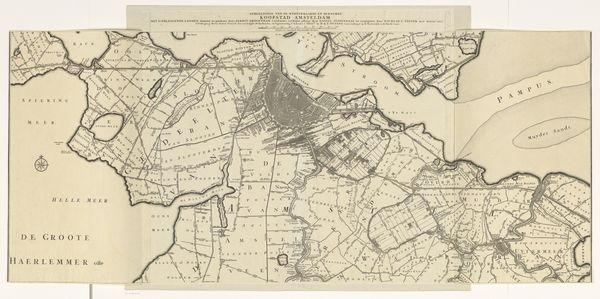
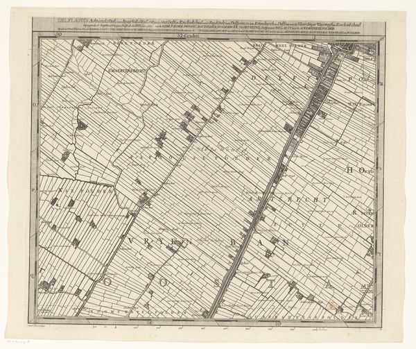
Editor: This detailed map, “Kaart van het dijkgraafschap van de Vier Noorder Koggen (deel linksonder)” created by Hendrik de Leth in 1731, using ink and engraving. I find it really intricate, with all the little divisions and names. What do you make of this as an artwork, rather than just a practical document? Curator: Well, let’s consider what a map like this meant in its time. It’s not just lines on paper, it's a statement about control, ownership, about humanity imposing order on nature. Maps of this detail suggest a culture obsessed with boundaries, with demarcating “us” from “them.” Editor: So the act of mapping itself has symbolic weight? Curator: Exactly. Think about what it means to name places, to visually dissect a landscape into manageable parcels. What collective psychological need is being fulfilled? How does this connect with land ownership or geopolitical ambition? Does the crisp linework suggest rational clarity or a suppression of something more chaotic? Editor: That’s interesting, I never considered that maps could reflect psychological ideas. It feels very objective, but maybe it is really about something less rational. Curator: What emotional associations do you feel when viewing it, given what we’ve discussed? Does it give you a sense of stability, security, or does it inspire perhaps a feeling of being confined or watched? What is revealed and what is obscured in this way of portraying land? Editor: I think I now see it less as just information, and more as an attempt to frame and define the relationship between people and their territory, maybe even ourselves. Curator: Precisely! Maps reveal just as much about the mapmaker as the mapped.
Comments
No comments
Be the first to comment and join the conversation on the ultimate creative platform.
More like this