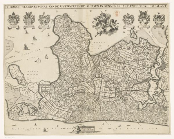
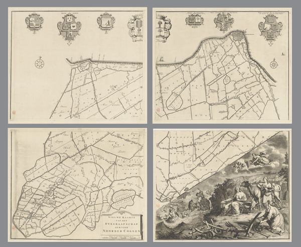
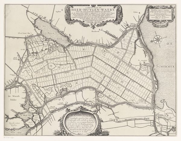
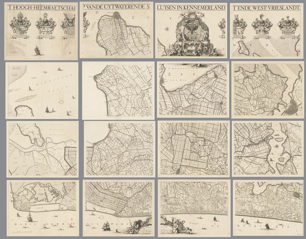
Kaart van Kennemerland en West-Friesland, bestaande uit vier delen 1734 - 1739
0:00
0:00
coenraetdecker
Rijksmuseum
print, engraving
#
baroque
# print
#
geometric
#
line
#
cityscape
#
genre-painting
#
engraving
Dimensions: height 875 mm, width 1138 mm
Copyright: Rijks Museum: Open Domain
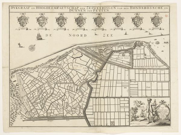
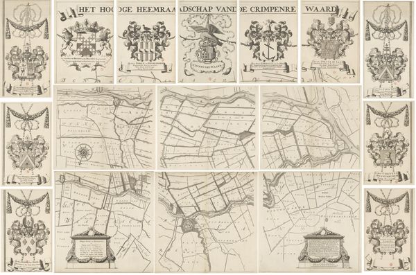
This is Coenraet Decker's "Map of Kennemerland and West Friesland, consisting of four parts", made around 1678. Decker used etching to create a detailed cartographic image of the Dutch waterways. The composition is structured into four distinct panels, each offering a section of the regional landscape. Notice the intricate network of lines that define the waterways and land divisions. These lines not only map the physical space, but also suggest a structured understanding of territory and control. Decker’s use of line and form gives a sense of order, reflecting the Dutch preoccupation with land reclamation and water management. The lines create a matrix that invites the viewer to consider the intersection of human intervention and natural geography. The map functions as more than a mere representation of space, it also embodies the complex relationship between people and their environment. Through its detailed rendering and structured composition, Decker's map presents a world where the natural and the artificial are intricately linked, where the act of mapping is itself a form of shaping the world.
Comments
No comments
Be the first to comment and join the conversation on the ultimate creative platform.
More like this