drawing, print, engraving
#
drawing
#
baroque
# print
#
geometric
#
cityscape
#
engraving
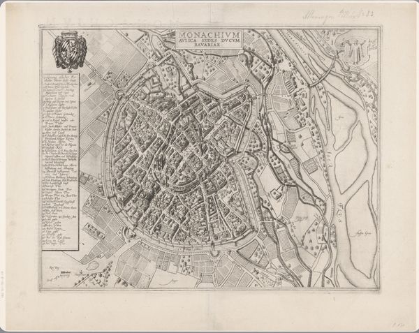
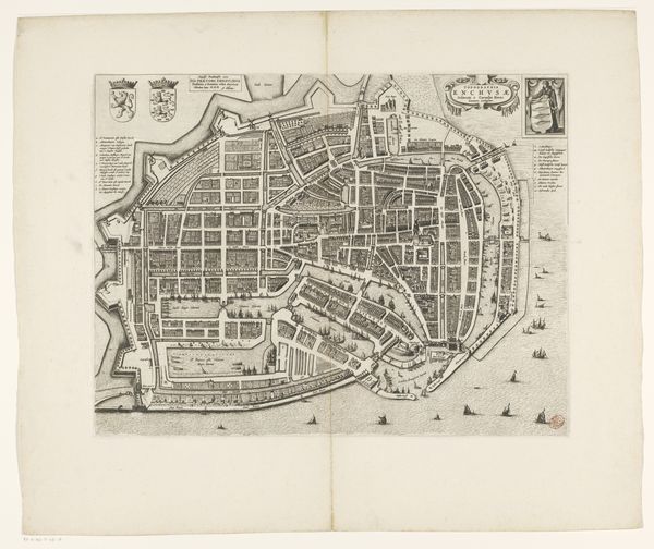
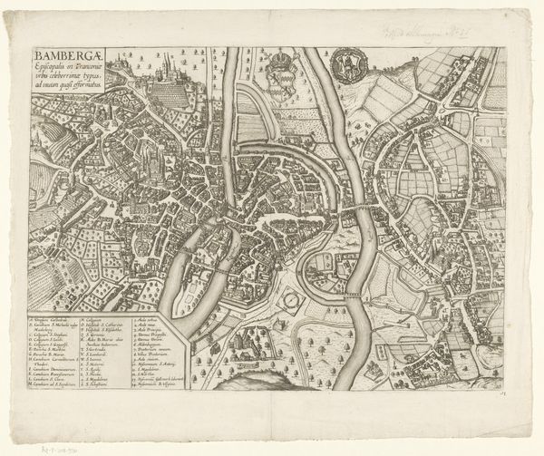
Dimensions: Overall: 41 5/16 x 94 1/2 in. (105 x 240 cm)
Copyright: Public Domain
Antonio Tempesta etched this ‘Plan of the City of Rome’ to offer a comprehensive view, yet it is far more than a simple topographical document. Look closely, and you'll notice the repeated motif of the eagle. The bird appears not merely as a geographical marker but as a symbol of power, recalling Rome's imperial past. This proud emblem transcends eras, echoing in ancient Roman standards and resurfacing in later heraldry across Europe. The eagle, a symbol of Jupiter, was adopted by emperors, then echoed in Charlemagne's court, and even in the Third Reich. Consider how such imagery affects our subconscious. The eagle’s reappearance throughout history taps into our collective memory, evoking feelings of authority, dominance, and even fear. The enduring appeal of the eagle is rooted in our deep-seated psychological responses to power. The cyclical progression of this symbol—from ancient Rome to modern contexts—reveals a continuous, non-linear trajectory of cultural memory, adapting and acquiring new layers of meaning with each historical reemergence.
Comments
No comments
Be the first to comment and join the conversation on the ultimate creative platform.
More like this