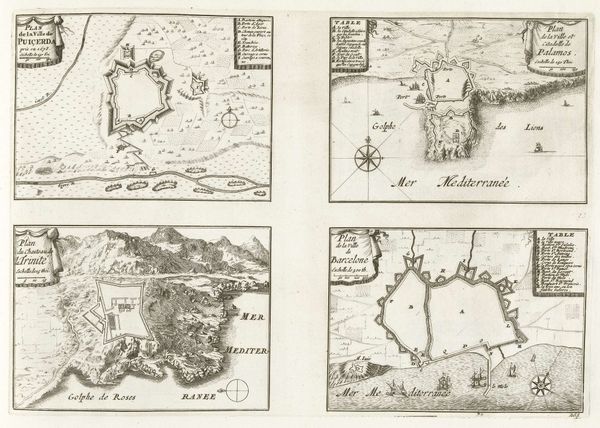
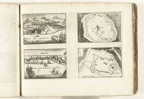
Plattegronden van Puigcerdá, Palamos, Château de la Trinité en Barcelona, 1726 1726
0:00
0:00
anonymous
Rijksmuseum
drawing, print, paper, ink, engraving
#
drawing
#
baroque
# print
#
paper
#
ink
#
engraving
Dimensions: height 237 mm, width 340 mm
Copyright: Rijks Museum: Open Domain
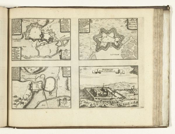
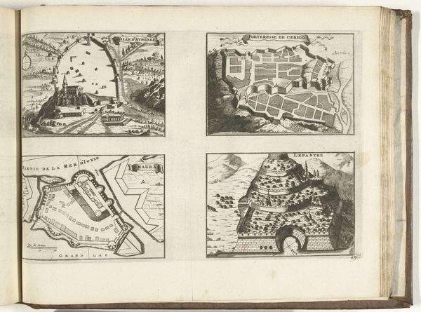
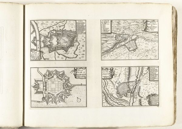
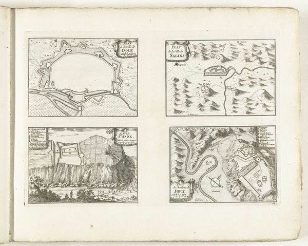
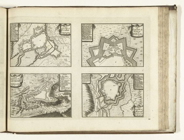
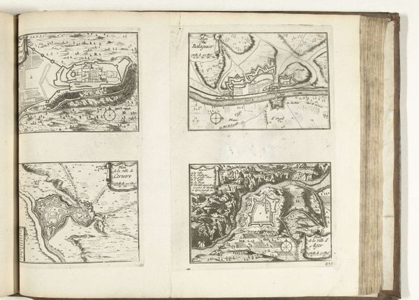
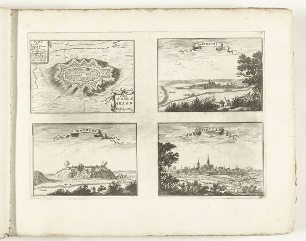
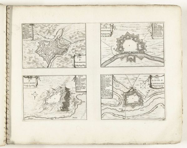
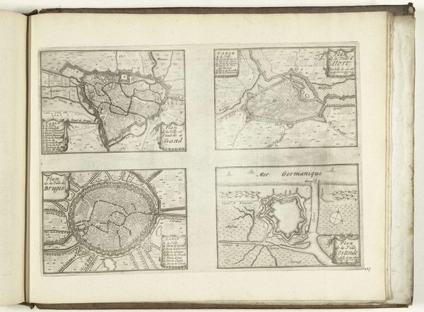
These maps of Puigcerdá, Palamos, Château de la Trinité, and Barcelona were anonymously created in 1726 using etching. These plans reflect the intense geopolitical competition of the early 18th century, during the War of the Spanish Succession, when territory was strategically planned and defended. The maps reduce cities to geometrical forms, emphasizing military fortifications. In doing so, we can consider how these images play a role in the construction of power and territorial control. They reduce lived spaces to strategic assets, overlooking the everyday lives and experiences of the inhabitants. What stories and histories are erased when cities are viewed solely through a military lens? How might these maps be considered a form of violence, flattening the complexities of human life into lines on a page? Consider the role of cartography in shaping perceptions of identity, nationhood, and belonging. This etching invites us to reflect on the human cost of conflict and the lasting impact of geopolitical strategy on communities and individual lives.
Comments
No comments
Be the first to comment and join the conversation on the ultimate creative platform.
More like this