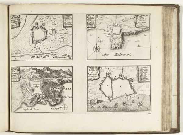
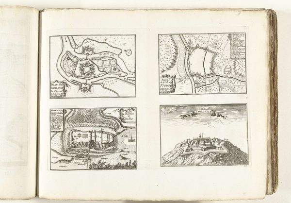
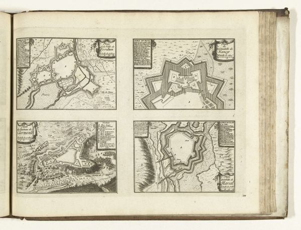
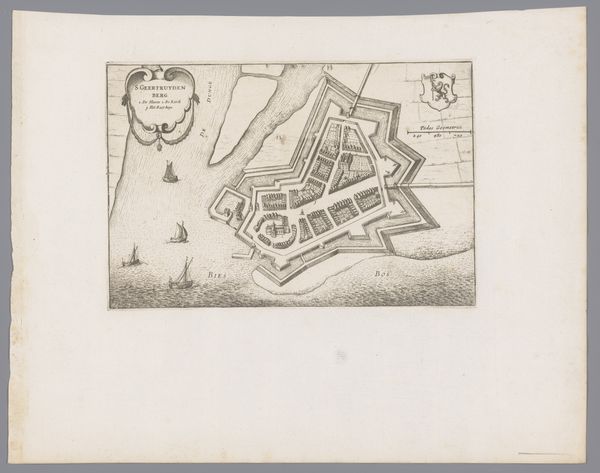
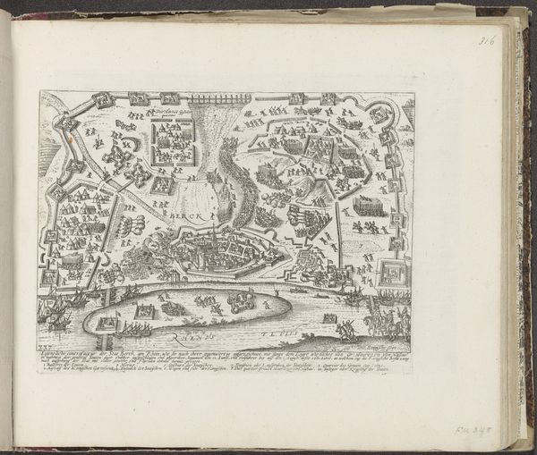
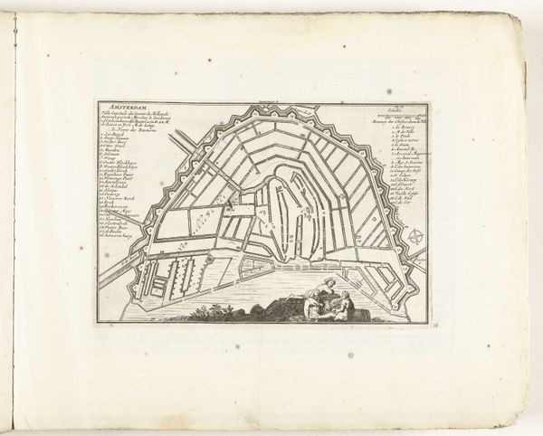
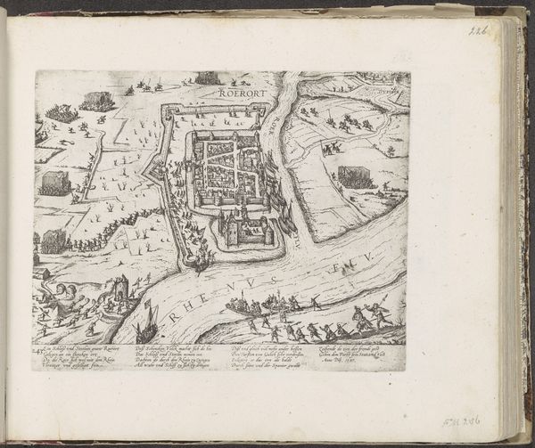
Plattegronden en gezichten op Athene, Cerigo, Santa Maura en Lepanto, 1726 1726
anonymous
Rijksmuseum
drawing, print, ink, engraving
drawing
baroque
ink
geometric
cityscape
engraving
Dimensions: height 234 mm, width 361 mm
Copyright: Rijks Museum: Open Domain
Curator: I'm immediately struck by how crisp and intricate this print is; it's called "Plattegronden en gezichten op Athene, Cerigo, Santa Maura en Lepanto," dating from 1726. It seems almost impossibly detailed. Editor: Right? It gives me a disquieting sense of being watched from above. I'm reminded of the clinical, detached perspective used in military mapping – the feeling that these aren’t places, but strategies, viewed without empathy. Curator: Interesting, I tend to see it more as an exercise in controlling information, offering a bird's eye view into cities that could have become cultural or historical landmarks. Note how each location depicted uses specific geometric principles of spatial layout. Each location embodies distinct strategies of urban design that create visual signatures over time. Editor: That's interesting, you see an attempt at controlling space and time... while I am feeling a sense of controlled invasion of space. But yes, the architectural precision is hard to miss. Those sharp lines – not a single one out of place, they speak to this era’s burgeoning belief in reason and control. Curator: Exactly. These layouts evoke cultural memory. What stories are embedded in those lines? Each shape evokes a place in time where culture was imprinted onto stone, earth, and sky. It's like archaeology unfolding on a page. Editor: It also feels surprisingly...impersonal? These cityscapes almost come off as cold data visualizations from a bygone era. As I'm viewing the visual depiction of Athens, my mind drifts towards ancient philosophers convening. Do you feel the connection between art, time and the imprints left by great minds? Curator: Certainly! We look at this drawing, and even if our emotional reaction feels detached as you say, it allows our gaze to engage intimately with time, offering a map of history. And I think you’ve got something about that invasion point you touched on earlier too—maps like these always served purposes far beyond simple geographical documentation. Editor: Exactly. A potent cocktail of beauty, anxiety, history...Makes one consider our own age of satellites and surveillance, really. Where are we positioned relative to the 'eye in the sky?' Curator: It's like staring at our own future echo. Food for thought indeed.
Comments
No comments
Be the first to comment and join the conversation on the ultimate creative platform.