print, engraving
#
baroque
# print
#
geometric
#
cityscape
#
engraving
Dimensions: height 238 mm, width 340 mm
Copyright: Rijks Museum: Open Domain
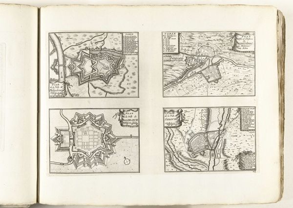
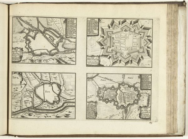
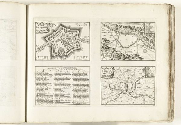
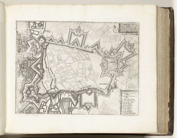
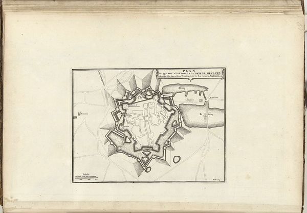
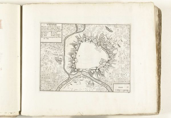
These “Plattegronden van Gent, Aalst, Brugge en Oostende” were made in 1726 by an anonymous artist. This print presents four city plans with a strong emphasis on geometric shapes and lines. The cities' layouts are each contained within rectangles and are meticulously rendered, emphasizing the structural organization of urban space. The overall composition uses the formal qualities of line and shape to evoke the order and rationality valued during the Enlightenment. Each plan is a network of lines, forming buildings, streets, and fortifications. The varying textures, achieved through detailed engraving, distinguish between urban and natural elements. The bird’s-eye perspective flattens the three-dimensional world into a two-dimensional plane. The lines and shapes become symbolic representations of spatial relationships, challenging traditional perspective. The image presents a semiotic system where each mark signifies a specific element of urban life, inviting us to decode the structure of cities through careful observation and interpretation.
Comments
No comments
Be the first to comment and join the conversation on the ultimate creative platform.
More like this