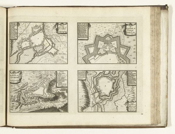
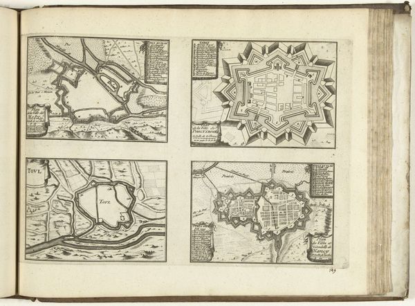
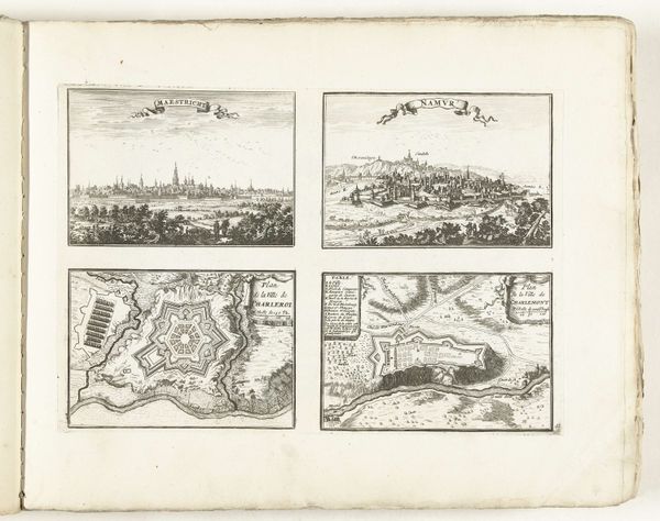
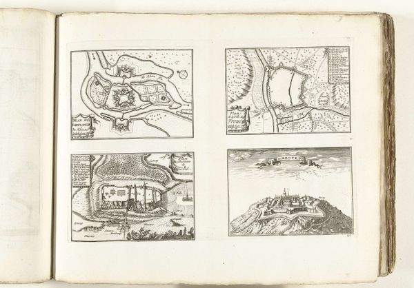
Plattegronden van Philippsburg, Kreuznach, Saarlouis en Saverne, ca. 1702 1702 - 1703
0:00
0:00
anonymous
Rijksmuseum
drawing, paper, ink, engraving
#
drawing
#
pen drawing
#
pen illustration
#
pen sketch
#
paper
#
personal sketchbook
#
ink
#
ink drawing experimentation
#
pen-ink sketch
#
pen work
#
sketchbook drawing
#
cityscape
#
history-painting
#
storyboard and sketchbook work
#
sketchbook art
#
engraving
Dimensions: height 239 mm, width 351 mm
Copyright: Rijks Museum: Open Domain
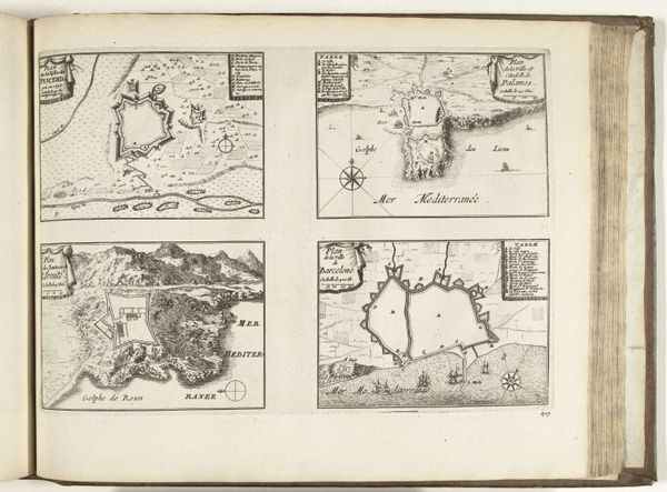
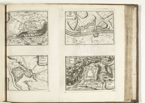
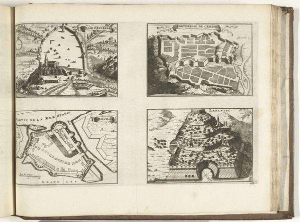
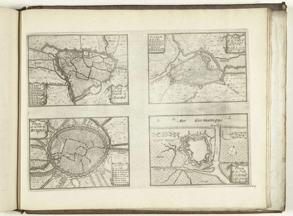
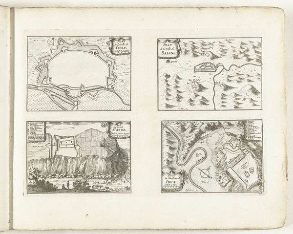
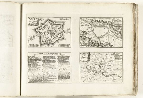
This page of maps depicting Philippsburg, Kreuznach, Saarlouis and Saverne was made around 1702, using the technique of engraving. The incised lines, now filled with ink, were produced by a skilled hand manipulating a burin, or engraving tool, across a copper plate. The character of the line is everything here. Look closely, and you can see how the varying pressure creates a sense of depth and texture, vital to representing the fortifications, waterways, and urban plans. But beyond the technique, consider the social context. These aren't landscapes made for pleasure. They are strategic, made during a time of conflict. These maps aided in military planning, reflecting the intense labor required to build and defend these cities. The act of engraving, a meticulous and time-consuming process, mirrors the effort of constructing these fortified towns, vital to territorial control. The precision of the lines underscores how the labor of the engraver, like that of the soldier or engineer, was crucial to geopolitical power. By appreciating the craft, we can understand how material practices reflect the broader currents of society.
Comments
No comments
Be the first to comment and join the conversation on the ultimate creative platform.
More like this