drawing, print, ink, engraving
#
drawing
#
baroque
# print
#
pen sketch
#
old engraving style
#
ink
#
geometric
#
pen-ink sketch
#
pen work
#
sketchbook drawing
#
cityscape
#
engraving
Dimensions: height 230 mm, width 340 mm
Copyright: Rijks Museum: Open Domain
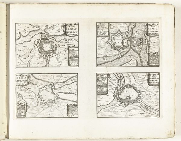
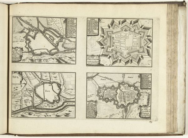
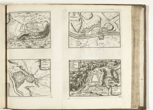
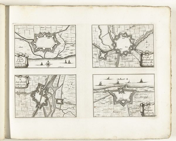
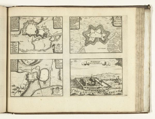
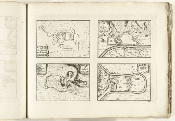
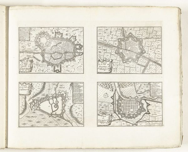
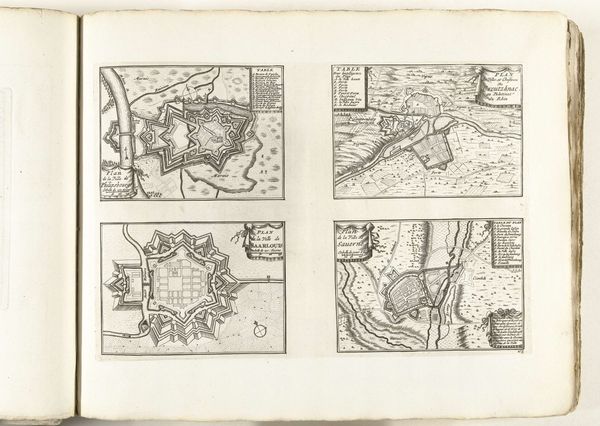
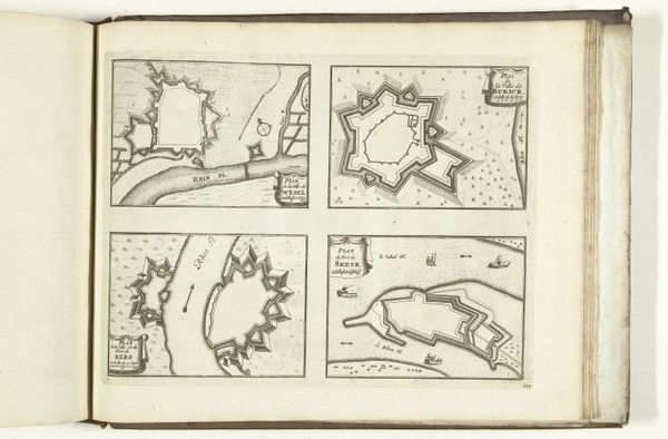
This unbound print from 1726 presents four city plans using etching. The layouts of Gravelines, Bergues, Bourbourg, and Mardijk are each framed within squares, creating a grid-like composition. The neutral tones emphasize the intricate lines and geometric forms, evoking a sense of precision. The visual structure of these maps points to a specific way of seeing and understanding space. Each plan is rendered with a focus on fortifications and urban layouts, indicative of strategic and military interests. The geometric shapes of the forts contrast with the more organic rendering of the natural landscape, revealing a tension between human intervention and the natural world. This tension is reinforced by the uniform framing which implies control and order. Through its structured composition and meticulous detail, this print offers not just a geographical representation, but also a commentary on power, control, and the imposition of human order onto the landscape. The act of mapping itself becomes a form of asserting dominance and knowledge.
Comments
No comments
Be the first to comment and join the conversation on the ultimate creative platform.
More like this