drawing, graphic-art, print, paper, ink, engraving
#
drawing
#
graphic-art
#
baroque
# print
#
landscape
#
paper
#
ink
#
geometric
#
decorative-art
#
engraving
Dimensions: height 232 mm, width 301 mm
Copyright: Rijks Museum: Open Domain
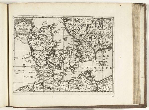
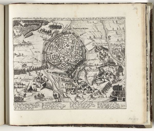
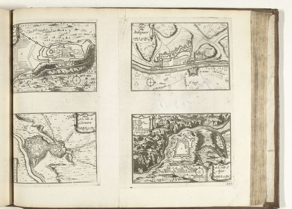
This is a 1726 map of Sweden, created by an anonymous cartographer, now held in the Rijksmuseum. In the 18th century, maps like this were more than just geographical tools; they were potent symbols of power and national identity. Consider the act of mapping itself. Who gets to define the boundaries, and what stories do those lines tell? This map reflects Sweden’s ambition and its place in the geopolitical landscape of the time. Sweden was once a major European power, and maps like this one helped to project that image. But what’s not shown is equally important. Where are the Sami people, the Indigenous inhabitants of the northern regions? How are women represented, or not represented, in this vision of Sweden? This map is a reminder that history is always a story told from a certain perspective, and that there are always voices left out of the frame.
Comments
No comments
Be the first to comment and join the conversation on the ultimate creative platform.
