print, engraving
baroque
landscape
geometric
engraving
Dimensions: height 293 mm, width 355 mm
Copyright: Rijks Museum: Open Domain
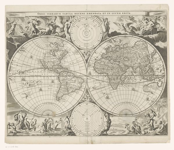
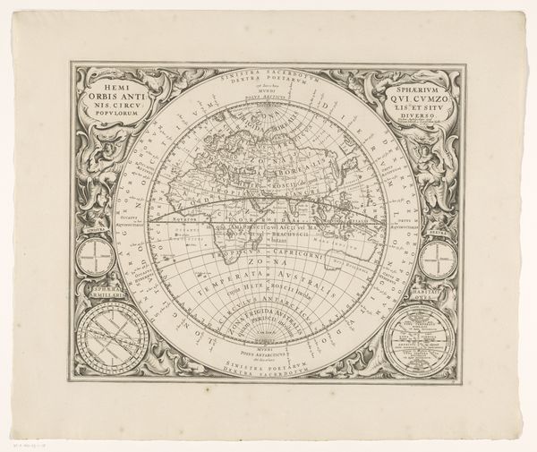
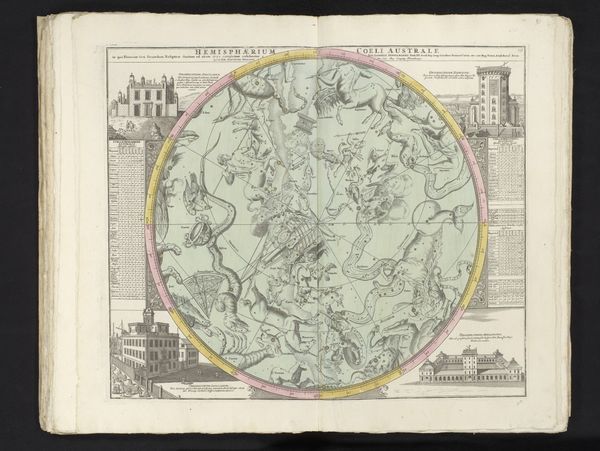
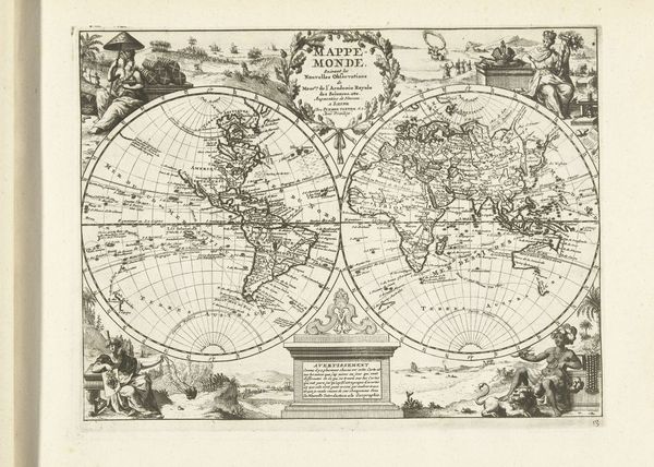
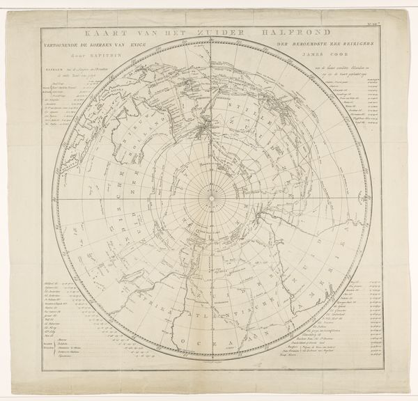
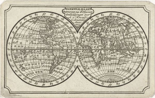
This map of the North Pole, by Jacob Keyser, is made using ink on paper. The process involved is etching, a printmaking technique where lines are incised into a metal plate, which is then inked and pressed onto paper. Look closely and you'll see the labor involved in producing such a detailed image. Each line had to be carefully etched, requiring a skilled hand and meticulous attention to detail. Maps like this were not only scientific instruments, but also commodities. They fueled exploration and trade, visualizing a world ripe for exploitation. The act of mapping itself was a form of claiming territory, turning foreign lands into objects of knowledge and control. The material and making of this map, therefore, speak to broader social issues of labor, politics, and consumption. It's a reminder that even seemingly objective representations of the world are shaped by human hands, and embedded in historical power structures. Understanding these processes is crucial to appreciating the full meaning of an artwork.
Comments
No comments
Be the first to comment and join the conversation on the ultimate creative platform.