drawing, print, paper, engraving
#
drawing
#
ink drawing
# print
#
pen sketch
#
paper
#
11_renaissance
#
history-painting
#
italian-renaissance
#
engraving
Copyright: Public Domain
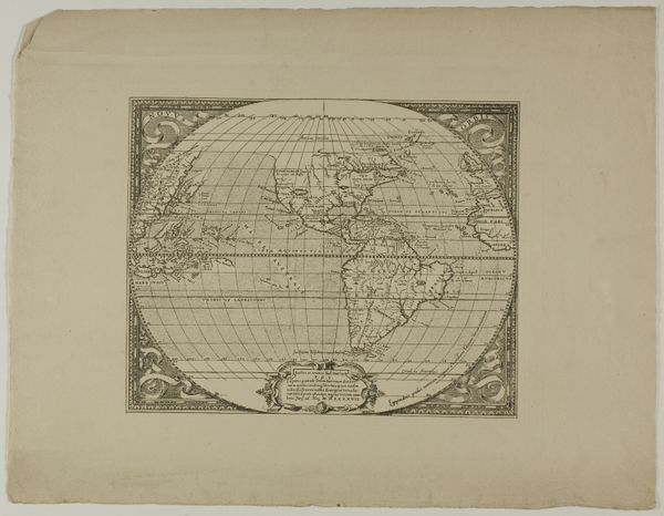
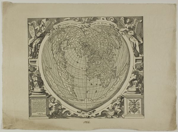
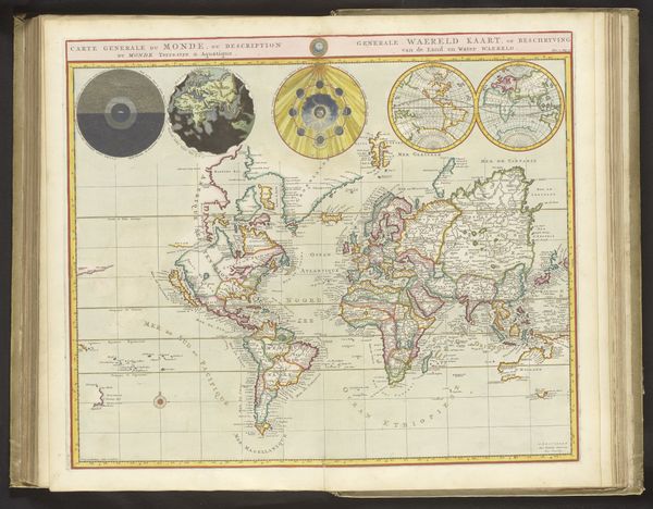
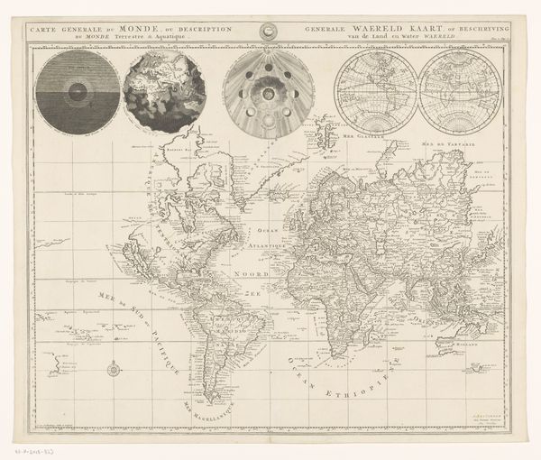
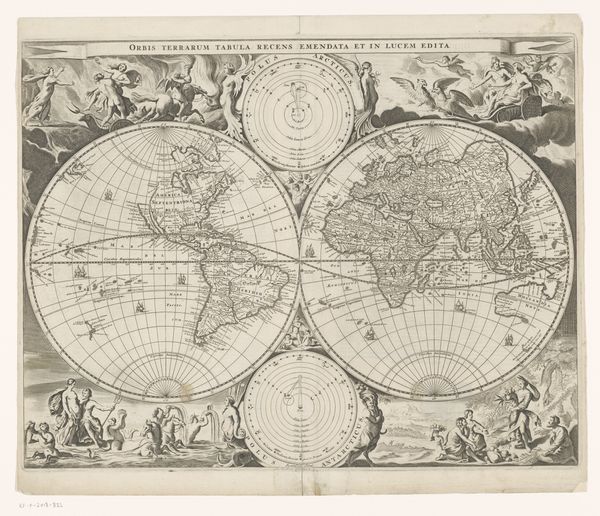
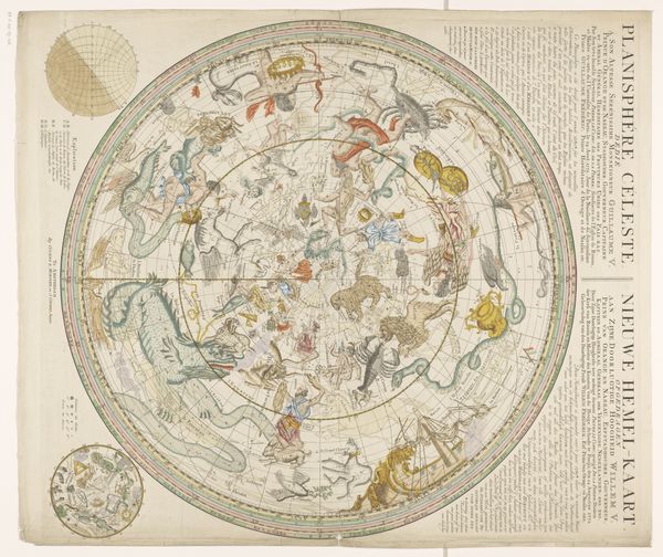
Editor: This is Bernardi Sylvani's "Map of the World: Tradewinds," potentially spanning from 1511 to 1889. It's a print, an engraving on paper. I'm struck by the figures blowing wind around the map – it almost feels alive, as if the map itself could start moving. How do you interpret this work? Curator: The winds are critical here. Consider what winds signified – not just navigation, but destiny, divine will, the breath of life itself. Sylvani gives them faces, distinct personalities. Note where each wind originates and the regions they influence. Can we see a suggestion of power dynamics encoded in these prevailing winds? Editor: That’s fascinating! So, it’s not just a map for finding your way, but also a statement about influence and perhaps even control? Curator: Precisely. Maps were never neutral objects. They framed the known world, literally drawing boundaries and, with images like these wind figures, assigning attributes to different regions and cultures. The "Tradewinds" aren’t merely atmospheric phenomena; they are potent symbols connecting Europe to the wider world. Editor: I see that now. So, these cherubic wind faces and classical references aren’t just decoration. They are carriers of meaning, suggesting how the artist and likely his patrons viewed the world. Curator: Absolutely. Visual symbols, in their emotional weight, speak louder than words in defining a worldview. What do you notice about the placement and prominence of Europe, for instance? The careful engraving conveys meaning to power and exploration of that age. Editor: This makes me think differently about the image – more than a scientific document, it’s a complex layering of knowledge, power, and cultural memory. I’ll never look at an old map the same way again. Curator: Indeed! And consider the act of printing and circulating this map – a powerful assertion of a particular vision, shaping collective understanding across generations.
Comments
No comments
Be the first to comment and join the conversation on the ultimate creative platform.
More like this