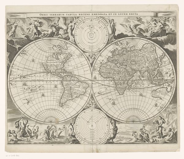
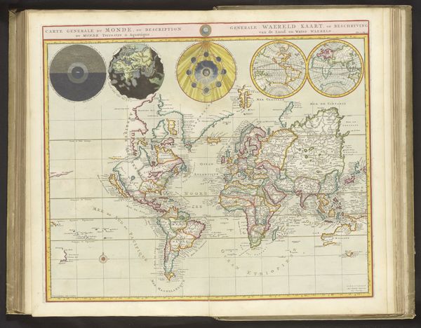
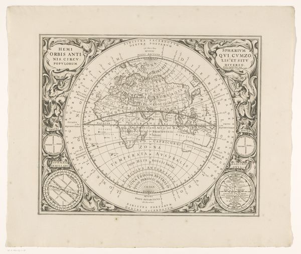
Wereldkaart, verdeeld in kaart van het oostelijk- en het westelijk halfrond 1721 - 1774
0:00
0:00
print, etching, engraving
#
aged paper
#
toned paper
#
baroque
# print
#
etching
#
old engraving style
#
woodcut effect
#
landscape
#
etching
#
linocut print
#
pen work
#
cityscape
#
engraving
Dimensions: height 446 mm, width 687 mm
Copyright: Rijks Museum: Open Domain
Johannes Condet created this map of the world, divided into eastern and western hemispheres, in Amsterdam. Printed in the 18th century during a time of great colonial expansion, this map reflects the Eurocentric worldview that fueled such expansion. While ostensibly a tool for navigation and trade, maps like these were also instruments of power, legitimizing territorial claims and shaping perceptions of different cultures. Notice the idealized depictions of Europe compared to the relatively sparse and often inaccurate representations of Africa, Asia, and the Americas. What stories does this map tell, not only about geography, but also about the cultural and political landscape of the 18th century? How do we navigate our own understanding of the world, acknowledging the biases and power dynamics inherent in its representation? Consider your own place within this historical framework.
Comments
No comments
Be the first to comment and join the conversation on the ultimate creative platform.
More like this