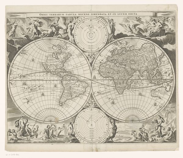
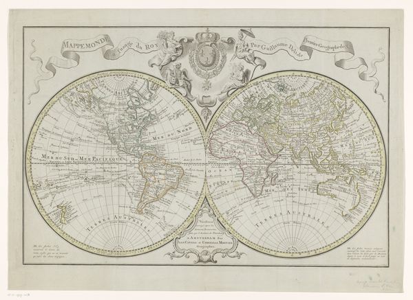
Richard Hakluyt, the Principal Navigations, London Possibly 1599 - 1889
0:00
0:00
drawing, graphic-art, print, paper, engraving
#
drawing
#
graphic-art
# print
#
landscape
#
paper
#
11_renaissance
#
history-painting
#
engraving
Copyright: Public Domain
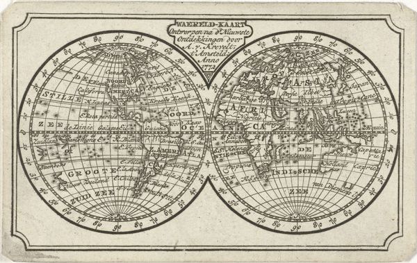
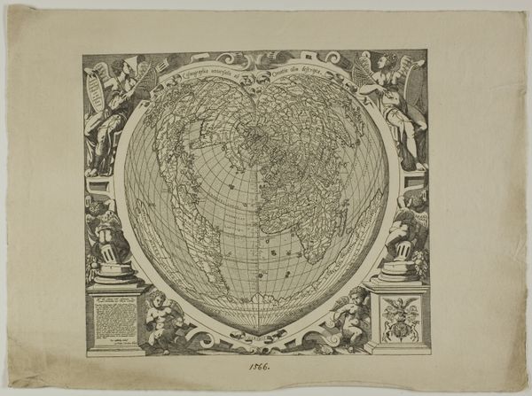
Editor: Right next up is, “Richard Hakluyt, the Principal Navigations, London,” dating probably around 1599, maybe up to 1889. It's an engraving. Immediately, it strikes me how this map isn’t just a geographical tool. What can we unpack regarding its place in history? Curator: Absolutely. Think of this map as a cultural artifact reflecting the ambition and ideology of its time. The very act of mapping, especially during the Age of Exploration, was a form of claiming territory, both physically and intellectually. How do you see the political implications embedded in the way different regions are represented? Editor: It’s fascinating. Europe is centered and feels, in a way, overly detailed, compared to, say, the Americas. Is this Eurocentric view a reflection of the prevailing power dynamics of the time? Curator: Precisely. This visual imbalance is not accidental. The map served to reinforce a sense of European dominance. Furthermore, consider who was commissioning and consuming these maps. Were they for scholarly use, or did they have a broader, propagandistic function, shaping public perception of the world and England’s place within it? Editor: That's an excellent point. So it wasn’t simply about showing the world, but also about shaping the public's view of their nation's role on a global stage. It's propaganda through geography! Curator: Indeed! Understanding this helps us to move beyond seeing it as a mere document, revealing how art, even in the form of cartography, participates in power structures. It is also a tool to enable these political goals, in service to England. Editor: I had not considered that art has also been an enabling tool. Thanks, it certainly enriches my view on the map! Curator: It goes the other way around as well. It has been such a pleasure, too.
Comments
No comments
Be the first to comment and join the conversation on the ultimate creative platform.
More like this