drawing, print, engraving
#
drawing
#
medieval
#
pen drawing
#
mechanical pen drawing
# print
#
pen illustration
#
pen sketch
#
old engraving style
#
perspective
#
personal sketchbook
#
linework heavy
#
geometric
#
pen-ink sketch
#
pen work
#
sketchbook drawing
#
cityscape
#
engraving
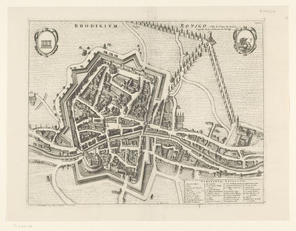
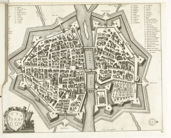
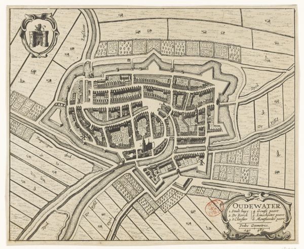
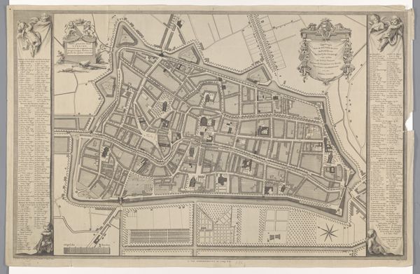
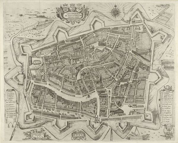
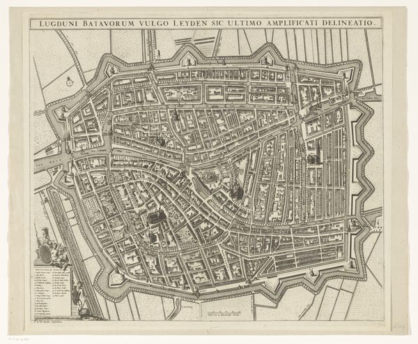
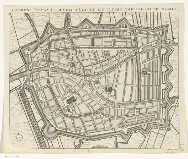
Dimensions: height 409 mm, width 518 mm
Copyright: Rijks Museum: Open Domain
This is an anonymous bird’s eye view map of Nuremberg, a city in Bavaria, Germany, printed on paper. Maps like this one served not only as navigational tools but also as statements of power and control. Nuremberg, as depicted here, appears orderly and contained, surrounded by fortifications. But what does it mean to map a city? It is an act of claiming space, of imposing a certain vision of order onto a complex, lived environment. Consider too, who is included and excluded from this representation? The map likely reflects the concerns and priorities of the ruling class, emphasizing civic structures, trade routes, and military defenses. What stories and experiences are missing from this seemingly comprehensive view? How does the act of mapping shape our understanding of the city and its inhabitants?
Comments
No comments
Be the first to comment and join the conversation on the ultimate creative platform.
More like this