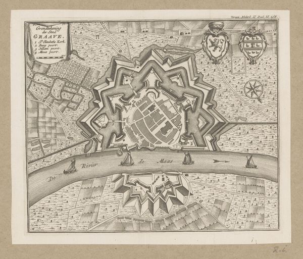
drawing, print, ink, engraving
#
drawing
#
baroque
# print
#
perspective
#
ink
#
geometric
#
cityscape
#
engraving
Dimensions: height 130 mm, width 146 mm
Copyright: Rijks Museum: Open Domain
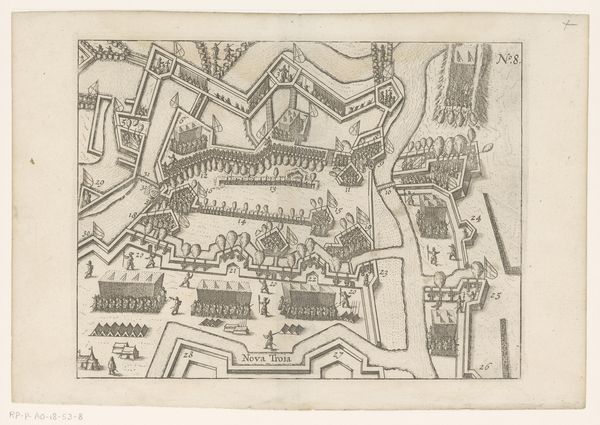
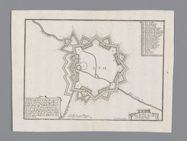
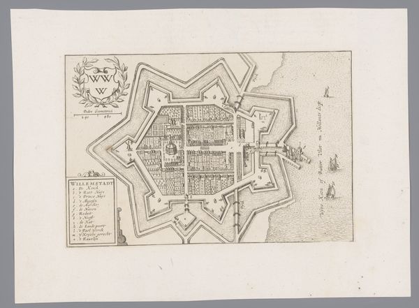
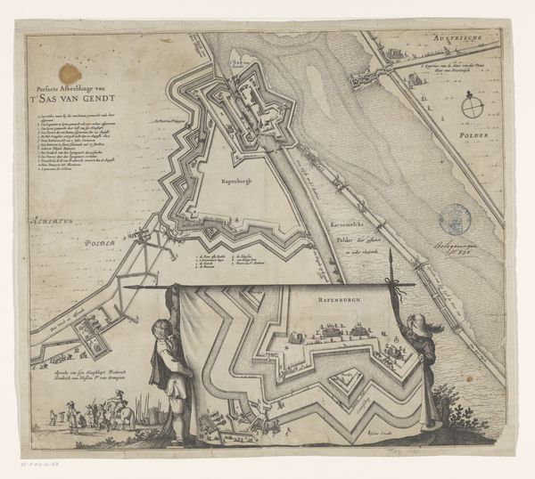
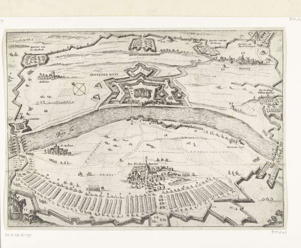
Editor: Here we have "Vestingplattegrond van Grave," created around 1660, and currently residing in the Rijksmuseum. It's an ink drawing and engraving depicting a city plan. What strikes me most is how geometric and precise it is, a kind of ordered vision. How would you interpret it? Curator: For me, it’s compelling as a product of labor and specific material conditions. Think about the engraver, the paper, the ink: these weren't simply neutral tools. The engraver's skill and time invested reflect the importance placed on representing power and control in the cityscape. This level of detail was reserved for significant places. Editor: That's interesting. I hadn’t really considered the labor involved. How does the material aspect speak to power? Curator: Well, maps like these were costly to produce. The intricacy of the engraving demonstrates a command of technique. Moreover, the material's permanence, achieved through ink and engraving, conveys the intent to solidify the city’s image, suggesting the power of its governing body to define and control space. How might the availability of different materials altered the image that was made? Editor: I see your point about the intended permanence. Thinking about the ink itself, its quality must have been crucial for achieving that level of detail. What is also striking is that it is not painted with different colours, but done in black and white and yet it displays so much control. I am also thinking that maybe today this engraving could have been more accessible given digital tools. Curator: Exactly. Access to tools shapes the final outcome, and availability changes with history. This engraving offers insight into the processes that construct authority, materially and conceptually. Editor: So, seeing it not just as a plan, but as a produced object… Curator: Precisely! Recognizing the conditions of its making exposes the complex power dynamics at play in even a seemingly objective representation of space.
Comments
No comments
Be the first to comment and join the conversation on the ultimate creative platform.
More like this