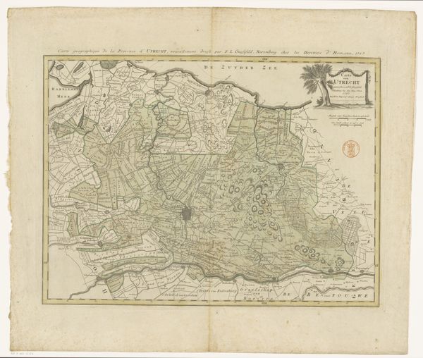
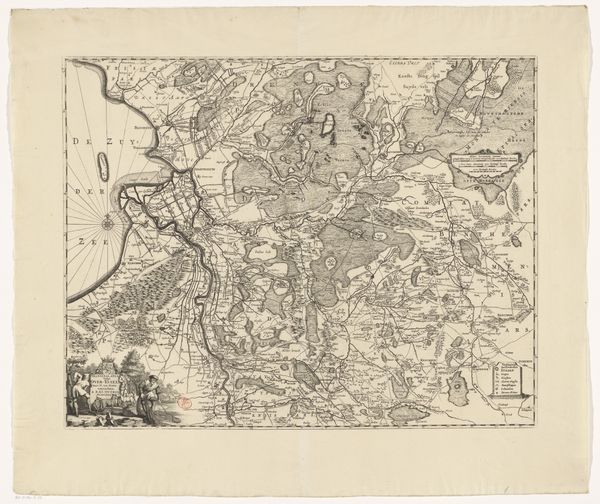
Kaart van het graafschap van Strijen, met een plattegrond van Breda 1663
0:00
0:00
abrahamdirckszsantvoort
Rijksmuseum
drawing, print, ink, pen
#
drawing
#
ink drawing
#
pen drawing
# print
#
pen sketch
#
landscape
#
ink
#
geometric
#
pen
#
cityscape
#
history-painting
Dimensions: height 180 mm, width 273 mm
Copyright: Rijks Museum: Open Domain
Curator: Let's discuss "Kaart van het graafschap van Strijen, met een plattegrond van Breda," a map from 1663 created by Abraham Dircksz. Santvoort, housed here at the Rijksmuseum. It’s rendered primarily in ink, using pen and print techniques. Editor: Well, first off, I find it delightfully odd. It's both informative and artistic. All those delicate lines! It feels almost…architectural, in a cartographical kind of way, like peering into a highly structured ant farm, don’t you think? Curator: Precisely! Consider the period: mapmaking was evolving from pure navigation to tools of power and governance. The detail showcases the importance of these regions, particularly Breda, strategically represented to highlight not just the lay of the land but also the intricate fortifications. Look closely at those! It underscores Dutch control and ambition in a period marked by conflict. Editor: Those fortresses almost steal the show! Each geometric point projecting like an armored star…I see them as potent symbols of dominion. I bet inhabitants knew the score—visually bombarded by reminders of defensive might. Is this dominance replaying today in how urban spaces still echo systems that constrain inhabitants? Curator: Maps such as these served both a functional and ideological purpose. By controlling the means of geographic representation, authorities consolidated not just territory, but also knowledge and perception of the territory. These aren’t passive objects; they helped actively shape realities, setting perimeters of race, class and governance that still ripple outwards. Editor: That resonates so intensely! Gazing upon these intricate cityscapes makes me feel part and parcel to history—recognizing we, as modern people, swim in streams carved out from then! So thanks, old map friend…you just zoomed me across temporal space. Curator: Indeed, and that is what is fascinating. Historical cartography lets us examine, layer upon layer, the making of identity. Editor: Exactly. This artwork challenges our inherited beliefs to visualize alternatives. I am leaving inspired to rewrite a map where hope is pinpointed—leading the way!
Comments
No comments
Be the first to comment and join the conversation on the ultimate creative platform.
More like this