graphic-art, print, engraving
#
graphic-art
#
baroque
# print
#
coloured pencil
#
history-painting
#
engraving
Dimensions: height 190 mm, width 300 mm
Copyright: Rijks Museum: Open Domain
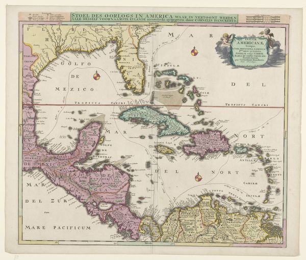
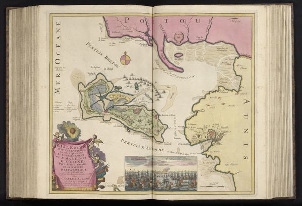
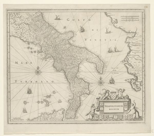
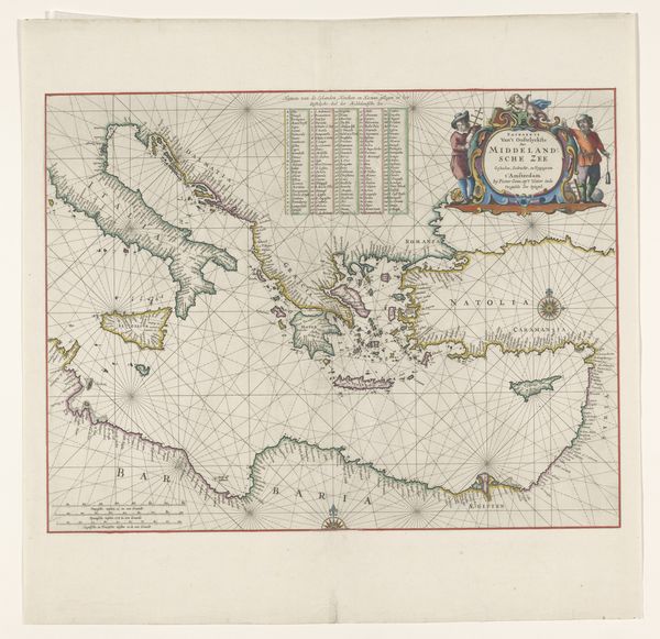
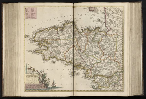
This map of the Gulf of Mexico, by Balthasar Ruyter, was made using engraving techniques. It's printed on paper, and then carefully hand colored. Consider the method: engraving relies on skilled labor to incise lines onto a metal plate. These lines hold ink, which is then transferred to paper under great pressure. Each impression requires careful alignment and physical effort. The coloring is then meticulously applied by hand. Notice how the choice of materials affects the final appearance. The crispness of the engraved lines gives the map a sense of authority, while the delicate colors soften the overall effect. The texture of the paper provides a tactile quality, inviting close inspection. Cartography in this period was deeply enmeshed with trade and colonialism. It was all about claiming territory, extracting resources, and controlling trade routes, and the making of maps like these was central to those operations. Understanding its making helps us to appreciate not only the skill involved, but also its historical and social context, challenging any easy distinction between art and craft.
Comments
No comments
Be the first to comment and join the conversation on the ultimate creative platform.
More like this