painting, print, etching, paper
#
baroque
#
painting
# print
#
etching
#
landscape
#
paper
#
coloured pencil
#
cityscape
Dimensions: height 510 mm, width 595 mm
Copyright: Rijks Museum: Open Domain
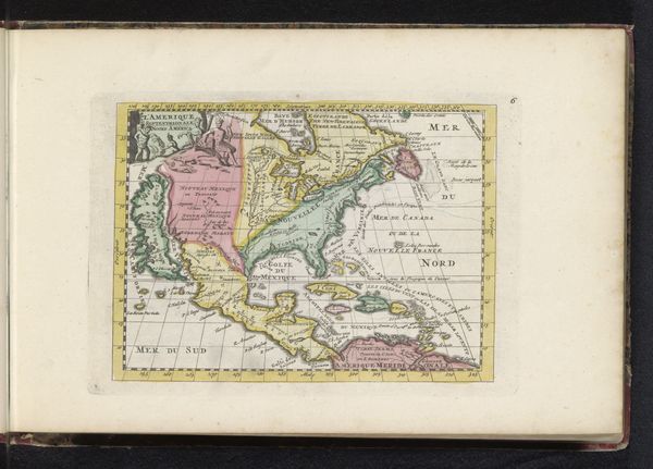
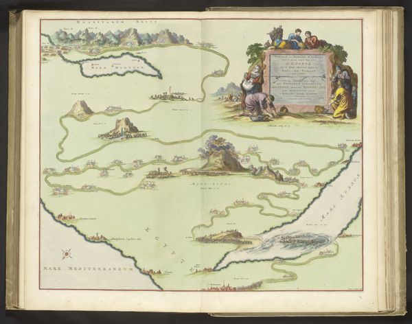
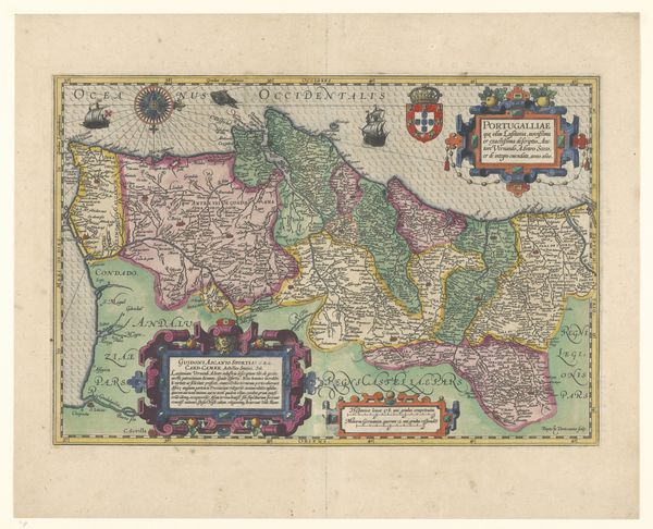
Curator: Good morning. Let’s turn our attention to this fascinating map, "Kaart van l’Île de Ré," created after 1696. It's a composite of etching, print, and painting on paper, currently held at the Rijksmuseum. Editor: It's amazing to see a map presented as a work of art. I find the visual organization quite striking—it's like several smaller compositions harmonizing into one large structure. What do you see in this piece from a formalist perspective? Curator: Indeed. Observe how the cartographer utilizes varying textures and lines to distinguish land from sea. Consider the deliberate placement of the compass rose, almost centrally located, yet offset enough to create a subtle visual tension. Editor: I also noticed the use of color—the pastel shades seem atypical for maps of this era. Curator: Precisely. Color here functions not merely descriptively, but also aesthetically, almost foreshadowing modernist abstraction. Notice how blocks of pink and green abut one another, creating contrast but never truly clashing. This map isn't only providing geographical information. How does the line quality throughout affect your viewing experience? Editor: I think the fine etching creates a sense of meticulous detail. There’s clarity and a real focus on the relationships between elements. Curator: Agreed. The precision invites prolonged looking, doesn't it? Editor: Definitely. I appreciate noticing aspects beyond its historical and geographical context. Thank you. Curator: My pleasure. Studying the forms helps us see the artistry inherent within functional objects.
Comments
No comments
Be the first to comment and join the conversation on the ultimate creative platform.
More like this