painting, print, watercolor
#
baroque
#
dutch-golden-age
#
painting
# print
#
landscape
#
watercolor
#
watercolor
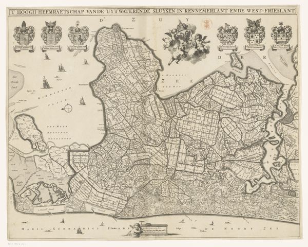
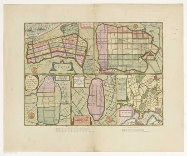
Dimensions: height 580 mm, width 502 mm
Copyright: Rijks Museum: Open Domain
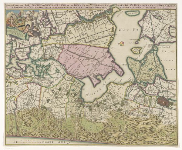
This is an anonymous map of Kennemerland and West-Friesland, two regions in the province of Noord-Holland, dating from an unknown year. This fascinating map offers a window into the economic and social landscape of the Dutch Republic. During the early modern period, the Netherlands was at the center of cartographic innovation. Maps like this were not only geographical tools but also instruments of power, used to define territory, facilitate trade, and project national identity. The detailed divisions of land reflect the Dutch Republic's sophisticated administrative and legal systems, which enabled efficient governance and economic activity. The elaborate decorations, with their depiction of local industries and heraldic symbols, tell us about regional pride and economic prosperity. To understand the map fully, historians consult archives, estate records, and other primary sources. Through such research, the map yields insights into the complex interplay of social, economic, and institutional forces that shaped the Dutch Golden Age.
Comments
No comments
Be the first to comment and join the conversation on the ultimate creative platform.
More like this