drawing, print, paper, engraving
#
drawing
# print
#
paper
#
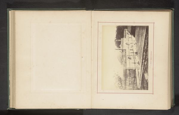
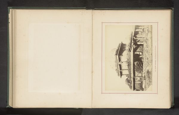
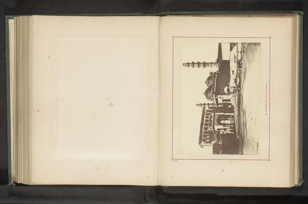
11_renaissance
#
coloured pencil
#
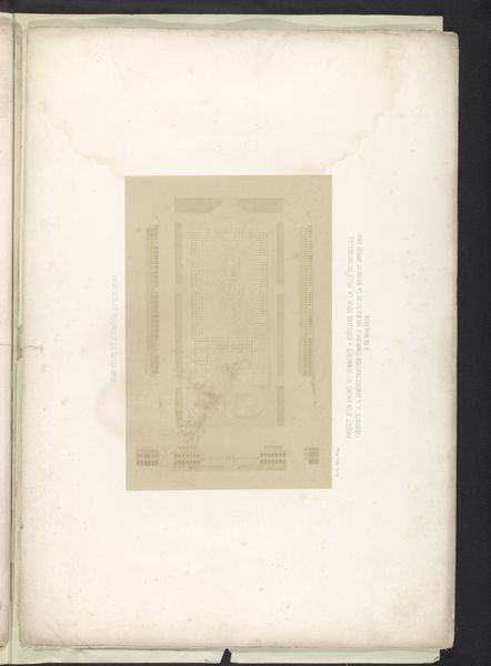
cityscape
#
engraving
Dimensions: height 104 mm, width 153 mm, height 532 mm, width 320 mm
Copyright: Rijks Museum: Open Domain
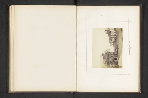
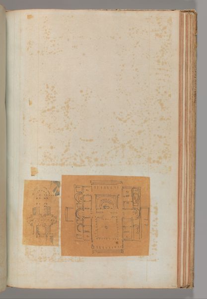
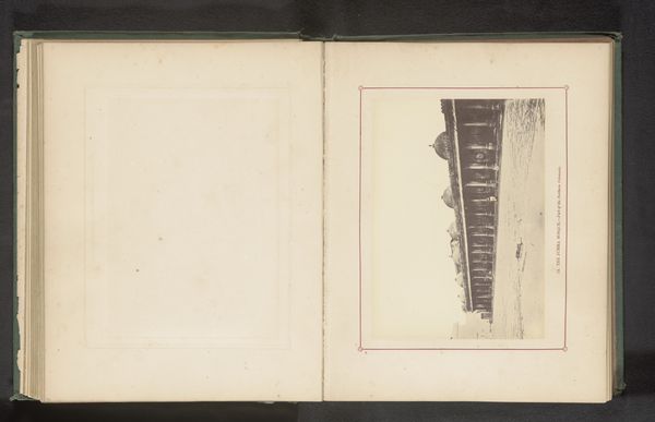
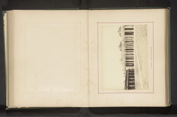
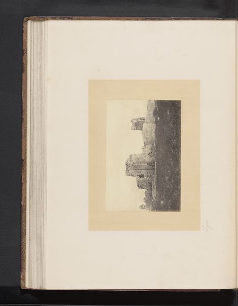
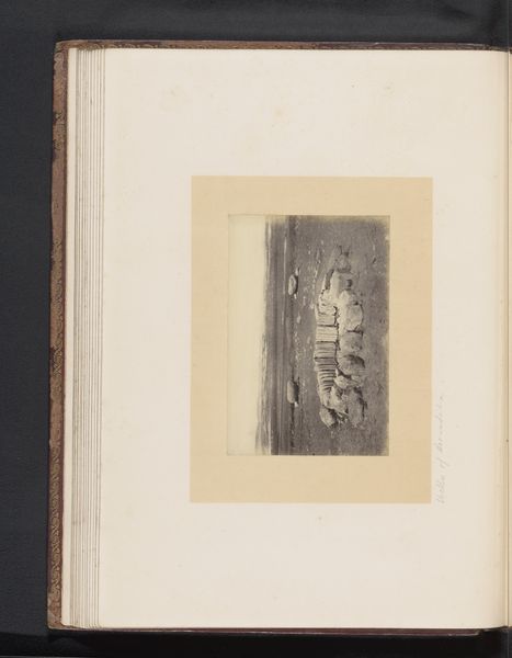
This anonymous, undated plan of Cahors presents a bird's-eye view of the city, encircled by the winding river. This recalls the classical motif of the ‘serpent river’ often depicted as a deity guarding or embracing a sacred space. The protective embrace of the river echoes the ancient symbolism of water as both a life-giver and a boundary, separating and defending the city from the outside world. Such encircling waters can be traced back to ancient Mesopotamian art, where rivers were personified as powerful deities. The walls and fortifications represent not just physical protection but also the psychological security sought by its inhabitants, echoing the primal need for safety. This image resonates with our collective memory of cities as fortresses, places of refuge, and order.
Comments
No comments
Be the first to comment and join the conversation on the ultimate creative platform.
More like this