About this artwork
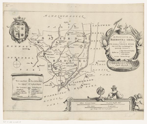
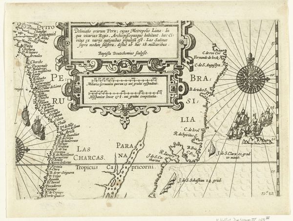
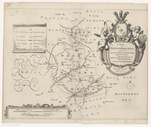
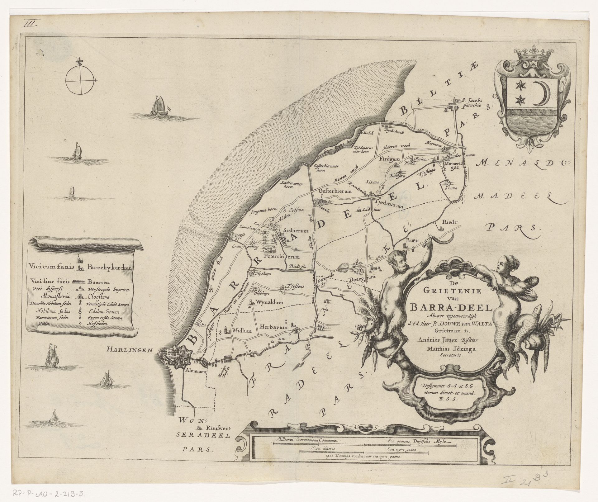
Jacob van Meurs created this map of Barradeel, now part of the Netherlands, in the 17th century. But this is more than just a straightforward geographical document. Consider the way the map presents the area. It doesn't just show the layout of the land; it also includes decorative elements like the coat of arms and cherubic figures. The map provides political and cultural information about the governance and important families in Barradeel at the time. The inclusion of a compass rose and sailing ships evoke the Netherlands's status as a seafaring power and its extensive trade networks. Maps like these played a role in shaping people's understanding of their place in the world. They reinforced existing power structures. To understand these complexities, historians consult archives, period documents, and other visual sources to interpret the social and institutional contexts in which art like this was produced.
Artwork details
- Medium
- graphic-art, print, engraving
- Dimensions
- height 281 mm, width 365 mm
- Location
- Rijksmuseum
- Copyright
- Rijks Museum: Open Domain
Tags
graphic-art
dutch-golden-age
engraving
Comments
Be the first to share your thoughts about this work.
About this artwork
Jacob van Meurs created this map of Barradeel, now part of the Netherlands, in the 17th century. But this is more than just a straightforward geographical document. Consider the way the map presents the area. It doesn't just show the layout of the land; it also includes decorative elements like the coat of arms and cherubic figures. The map provides political and cultural information about the governance and important families in Barradeel at the time. The inclusion of a compass rose and sailing ships evoke the Netherlands's status as a seafaring power and its extensive trade networks. Maps like these played a role in shaping people's understanding of their place in the world. They reinforced existing power structures. To understand these complexities, historians consult archives, period documents, and other visual sources to interpret the social and institutional contexts in which art like this was produced.
Comments
Be the first to share your thoughts about this work.