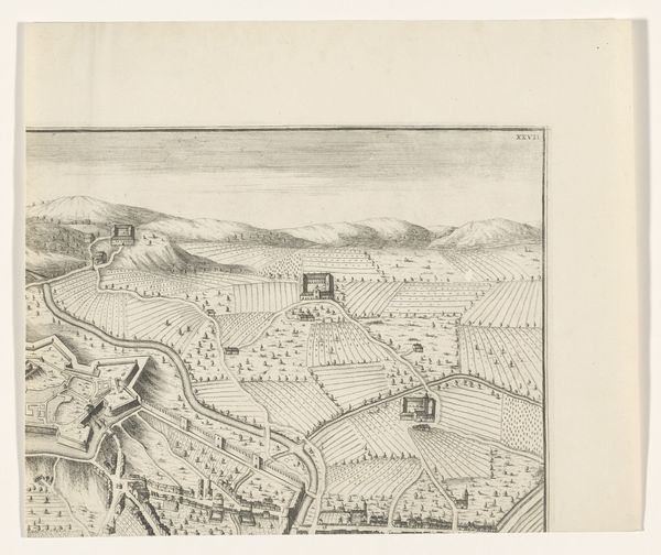
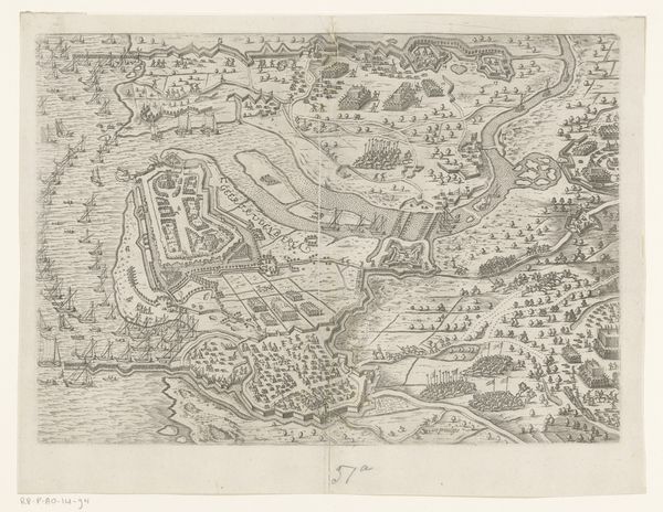
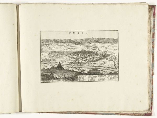
drawing, print, etching, engraving
#
drawing
#
medieval
#
baroque
# print
#
etching
#
landscape
#
cityscape
#
engraving
Dimensions: height 344 mm, width 470 mm
Copyright: Rijks Museum: Open Domain
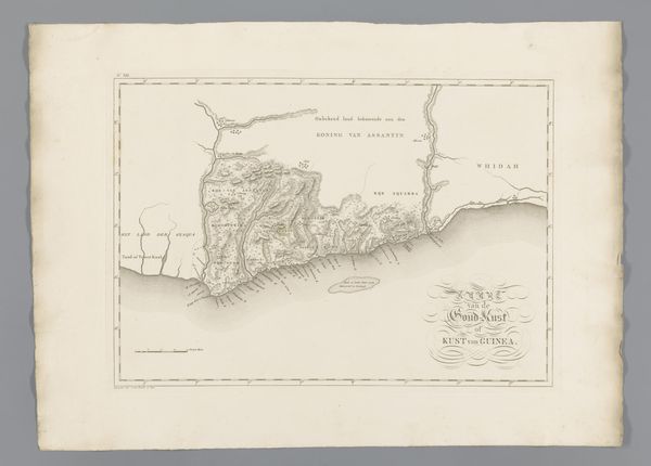
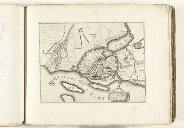
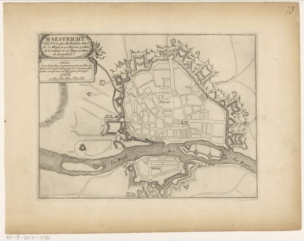
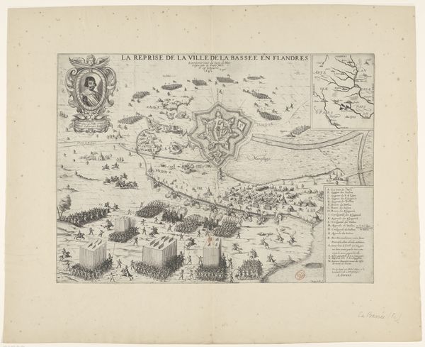
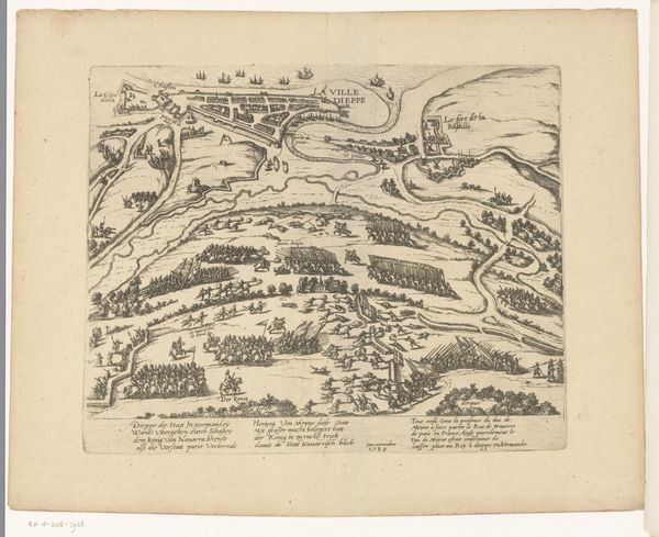
Wenceslaus Hollar created this print of Hatvan, Hungary using etching. The print offers two views of the town: one from a distance, showing its geographical setting, and another, more detailed plan of the town’s fortifications. Hollar, a Bohemian printmaker active across Europe, made this during a time of frequent conflicts. Maps like these weren't just about geography; they were strategic tools. Notice the detailed rendering of the fortifications. In the 17th century, control over territories was often determined by the strength of its defenses. The work reflects the anxiety and the military strategies of its time. Historical archives, military records, and even literature from the period could shed light on how places like Hatvan functioned within broader geopolitical strategies. Art history isn't just about aesthetics; it's about understanding the complex interplay of power, culture, and society.
Comments
No comments
Be the first to comment and join the conversation on the ultimate creative platform.
More like this