drawing, print, paper, ink
#
drawing
#
baroque
#
ink paper printed
# print
#
landscape
#
paper
#
ink
#
cityscape
#
watercolour illustration
#
watercolor
Dimensions: height 104 mm, width 150 mm, height 532 mm, width 320 mm
Copyright: Rijks Museum: Open Domain
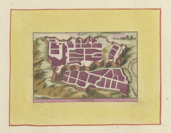
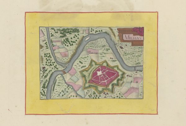
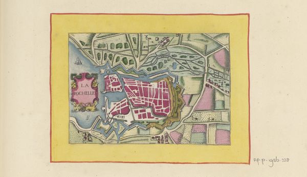
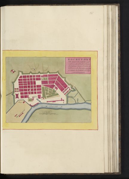
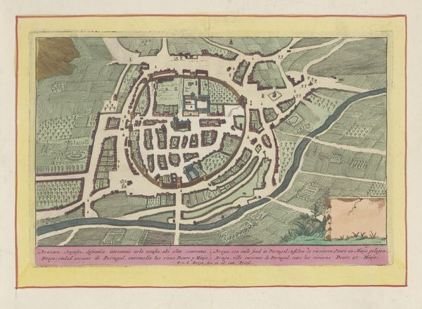
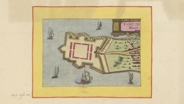
This is a painted and printed plan of Hennebont, France, created by an anonymous artist. It’s not just a map; it's a carefully constructed image reflecting the social and political dynamics of its time. The visual codes used here are fascinating. The walled city at the centre, coloured in a dominant pink, emphasizes security and control, perhaps reflecting anxieties around territorial disputes and military power. The surrounding landscape, neatly organized, suggests human dominance over nature, a common theme in early modern European imagery. Understanding this image requires delving into the historical context of 17th-century France. What were the major political events? How did these events affect urban planning and defense strategies? Examining sources such as period documents, military records, and urban histories could illuminate the specific social conditions that influenced its creation. In essence, this plan of Hennebont is more than just a geographical representation. It’s a cultural artifact that speaks volumes about the values, priorities, and anxieties of its time.
Comments
No comments
Be the first to comment and join the conversation on the ultimate creative platform.
More like this