drawing, print, etching, ink
#
pen and ink
#
drawing
#
baroque
#
pen drawing
#
dutch-golden-age
# print
#
etching
#
perspective
#
ink
#
cityscape
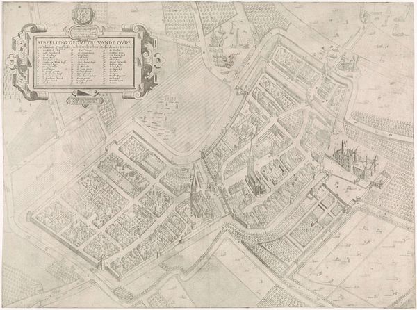
Dimensions: height 533 mm, width 598 mm
Copyright: Rijks Museum: Open Domain
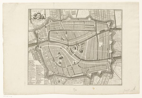
Romeyn de Hooghe created this segment of a map of Haarlem using etching, a printmaking technique, sometime between 1660 and 1700. The image is made through the repeated biting of a metal plate with acid, allowing for extremely fine, detailed lines. The nature of etching allows the artist to render a high level of detail, and the effect is graphic and precise, ideally suited to the technical demands of cartography. This was not simply a utilitarian object, though. Consider the amount of labor that went into producing the copper plate. It involved many hours of work from a skilled metal worker to achieve the desired finish. The artist then used specialist tools to create a mirror image on the plate. De Hooghe was a prolific and versatile printmaker, but the degree of skill on display here speaks to the collaborative nature of printmaking. It was not merely an individual artistic pursuit but a complex ecosystem of workshops and technical expertise. This map offers not just geographical information, but also a window into the world of early modern craft production.
Comments
No comments
Be the first to comment and join the conversation on the ultimate creative platform.
More like this