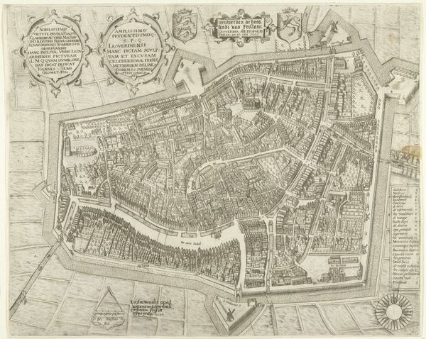
drawing, etching, architecture
#
drawing
#
etching
#
landscape
#
etching
#
cityscape
#
northern-renaissance
#
architecture
Dimensions: height 378 mm, width 508 mm
Copyright: Rijks Museum: Open Domain
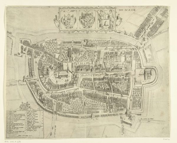
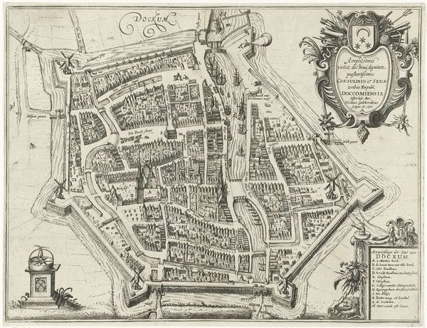
Hendrik Jansz. Verstraelen created this map of Culemborg with pen and gray ink. While the exact date of the work is unknown, consider the historical context of the Netherlands in this period. As a centre for trade and a place with progressive views, the Netherlands was also a focal point for conflict, particularly between Protestants and Catholics. The detailed design of the map reflects a society grappling with issues of identity and territorial control. The careful depiction of each street and building speaks to a desire for order and understanding in a world undergoing rapid change. Note how the map highlights the fortifications and defenses of the city. This reveals the ever-present threat of invasion and the importance of military strategy in the daily lives of the Dutch people. This map, in its own way, symbolizes the search for stability amid the currents of cultural and political transformation.
Comments
No comments
Be the first to comment and join the conversation on the ultimate creative platform.
More like this