drawing, print, paper, ink
#
drawing
#
narrative-art
#
baroque
#
dutch-golden-age
# print
#
paper
#
ink
#
coloured pencil
#
geometric
#
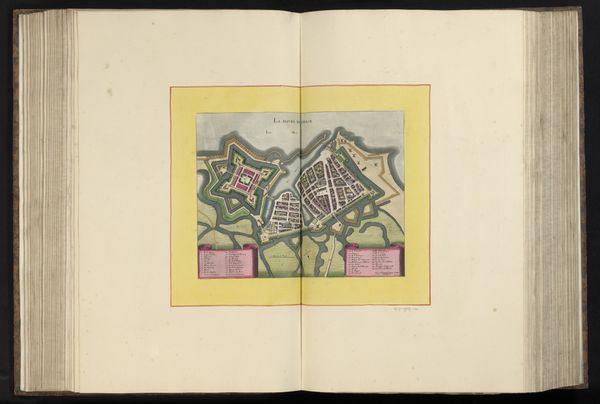
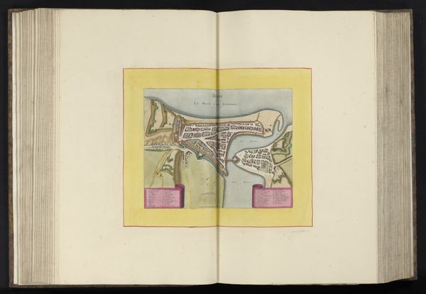
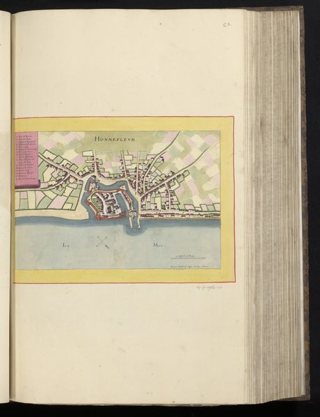
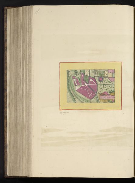
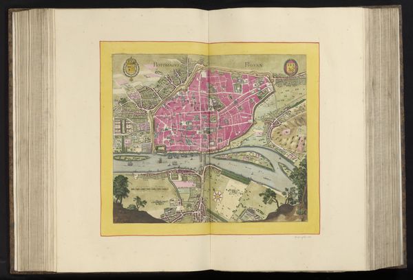
cityscape
Dimensions: height 231 mm, width 310 mm, height 532 mm, width 636 mm
Copyright: Rijks Museum: Open Domain
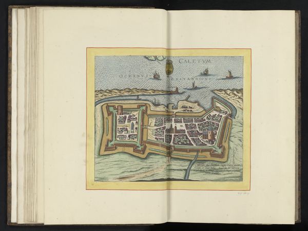
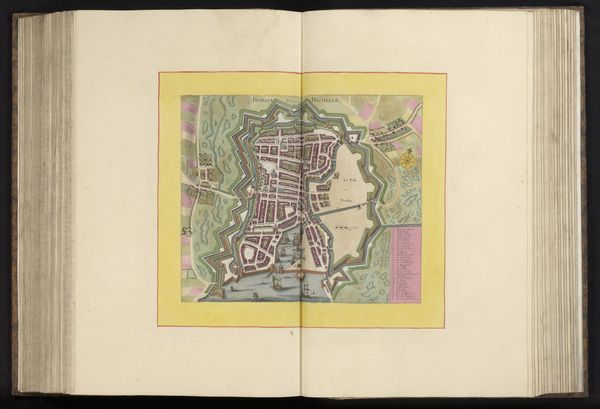
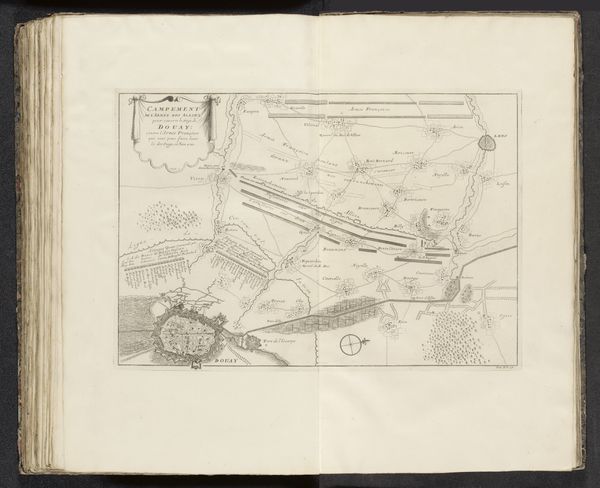
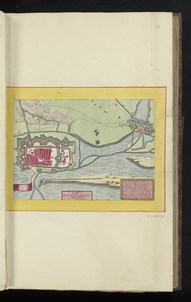
Curator: Before us we have a fascinating work entitled "Plattegrond van Caen," an anonymous print from 1656 rendered in ink on paper. Editor: The precision is what strikes me first. Look at the geometry! How neatly the artist renders this urban plan; the detail suggests order and control. Curator: Indeed, consider the broader context. Cityscapes during the Dutch Golden Age weren't simply representational. They served as status symbols and evidence of burgeoning urban development and trade. The print, multiplied and circulated, spoke to the city's importance. Editor: I notice how the lines defining buildings and streets vary in weight, adding visual interest to what could have been a purely utilitarian representation. Also, that limited palette. The ochre wash, pale blues suggesting the river – subtle but effective in articulating the plan's various components. Curator: This subtle coloration was likely achieved through careful layering and perhaps hand-coloring techniques, hinting at a division of labor where specialized workshops produced these images for a growing merchant class and civic administrators. Access to these maps became synonymous with access to knowledge and power. Editor: There's something timeless about its simplicity. I find it interesting how function informs form so directly here. One could consider it aesthetically refined given it's practical design. Curator: I agree. I think examining the materials themselves, the ink and paper – reminds us that art exists not in a vacuum. It's produced with real resources, and, especially in a period defined by colonial expansion, it prompts the critical question: from whence did those materials come? Editor: The artwork shows us that simple lines and shapes can lead to a beautiful and structured image. Curator: Indeed, reflecting on its materiality, it underscores how seemingly neutral representations can mask complex systems of production and consumption.
Comments
No comments
Be the first to comment and join the conversation on the ultimate creative platform.
More like this