print, etching, paper
#
baroque
# print
#
etching
#
paper
#
cityscape
#
history-painting
Dimensions: height 342 mm, width 407 mm, height 532 mm, width 637 mm
Copyright: Rijks Museum: Open Domain
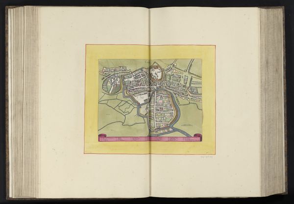
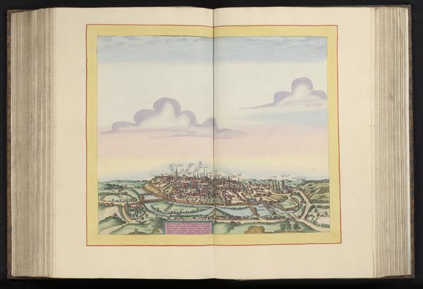
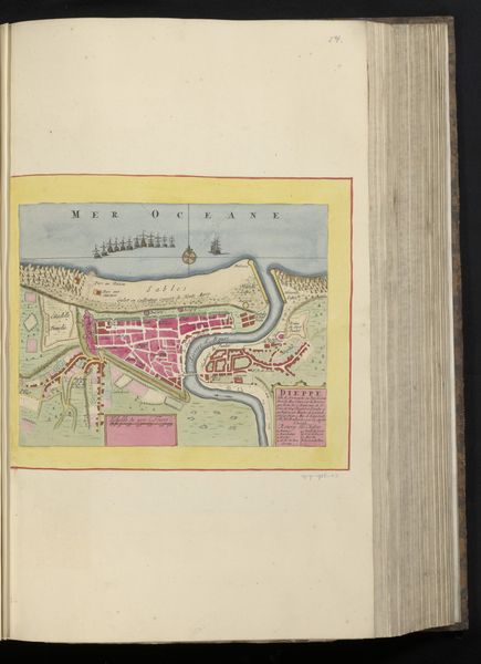
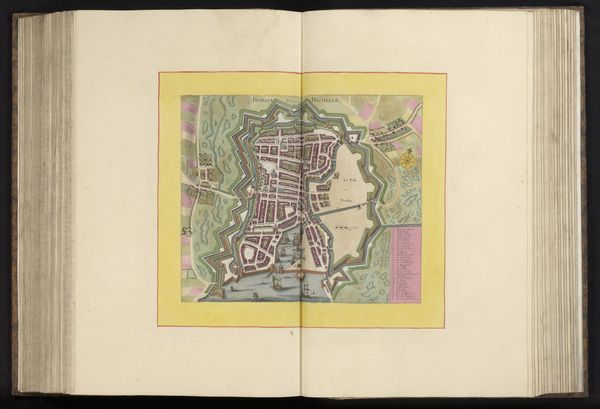
This anonymous map offers a bird’s eye view of Rouen, carefully rendered. At top left and right, there are heraldic crests. These are powerful symbols, emblems of identity and authority. Consider how these crests echo motifs found in ancient Roman coins or medieval tapestries, symbols of power and belonging. These images served not just as markers of identity, but as emotional anchors, evoking feelings of pride, loyalty, and a shared history. Such symbols tap into what we might call our collective unconscious—a deep-seated, shared reservoir of images and ideas inherited from our ancestors. They reappear across centuries and cultures, adapting to new contexts while retaining their essential emotional charge. It is this non-linear, cyclical progression that fascinates me—how symbols resurface, evolve, and take on new meanings in different historical contexts.
Comments
No comments
Be the first to comment and join the conversation on the ultimate creative platform.
More like this