print, paper, engraving
#
baroque
# print
#
paper
#
cityscape
#
engraving
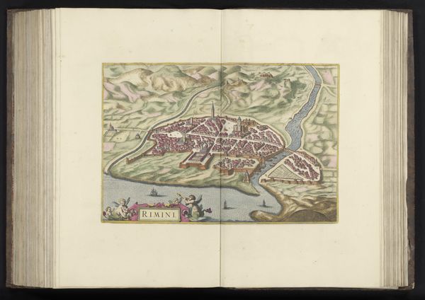
Dimensions: height 313 mm, width 384 mm, height 532 mm, width 633 mm
Copyright: Rijks Museum: Open Domain
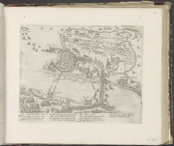
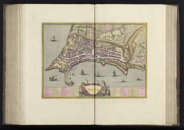
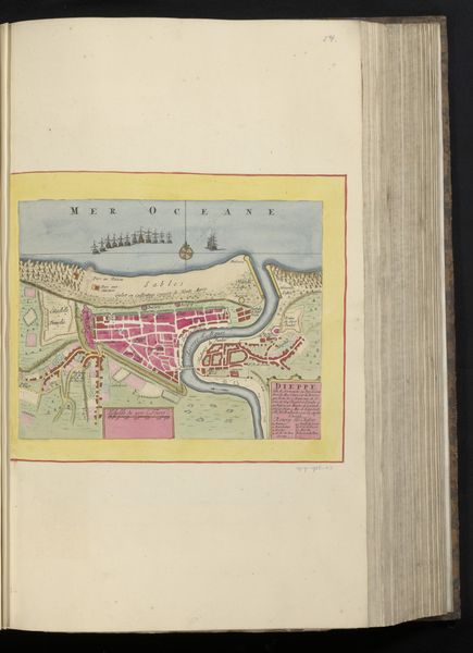
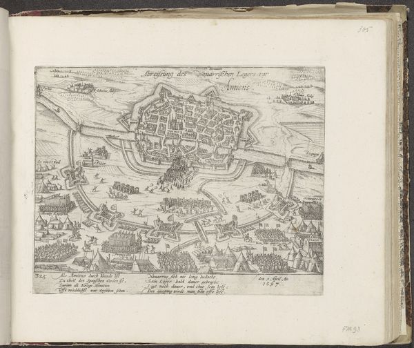
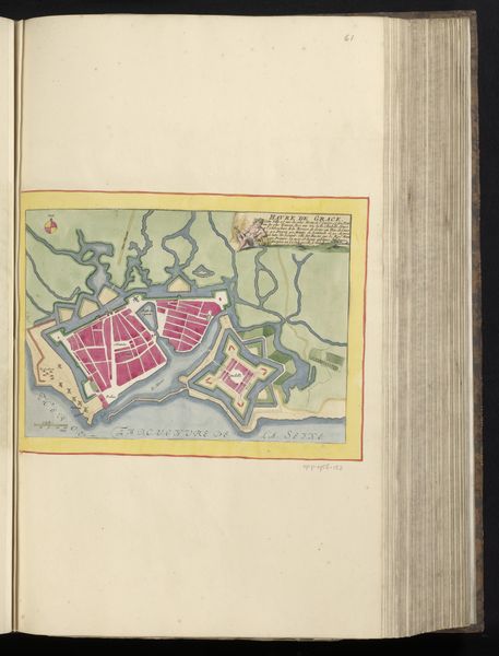
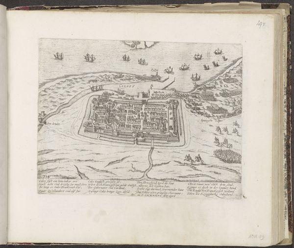
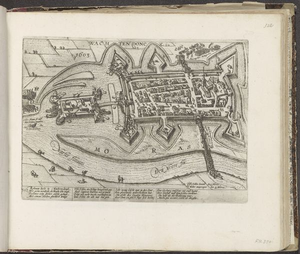
Editor: Here we have an anonymous engraving from 1657, titled "Plattegrond van Calais," a detailed plan of the city of Calais, made with engraving on paper. What strikes me is how enclosed the city seems, almost trapped by its fortifications. What do you see in this piece? Curator: I see more than just a map; I see a carefully constructed image, laden with symbolism. Notice how the city is not simply represented but *contained* – encircled by water and defensive walls. This reflects a prevailing sense of insecurity during the Baroque era, a world perceived as chaotic and in need of order. Editor: So the city walls aren't just practical; they're symbolic of a broader anxiety? Curator: Precisely. The image functions as a cultural artifact. Calais, surrounded by water, becomes an island of civilization amidst a threatening world. The ships in the ocean – are they a symbol of trade or invasion? Perhaps both. Ambiguity is crucial here, speaking to a collective, somewhat ambivalent consciousness of the time. It invites viewers, then and now, to contemplate humanity’s precarious place within the natural world. Editor: That's a powerful way to look at it. I was initially just focused on the layout of the streets. Curator: Consider the inscription as well. It may contain key social, economical or other important elements within the represented cityscape. Look carefully. How are churches represented, and do they relate in any way to other major infrastructures? Editor: I will definitely pay more attention to the inscription. I now see that this piece is so much more than just a geographical representation. Curator: Indeed, it's a mirror reflecting a specific cultural moment and continuing social values, inviting interpretation across the ages.
Comments
No comments
Be the first to comment and join the conversation on the ultimate creative platform.
More like this