print, engraving
#
baroque
# print
#
landscape
#
history-painting
#
decorative-art
#
engraving
Dimensions: height 410 mm, width 536 mm
Copyright: Rijks Museum: Open Domain
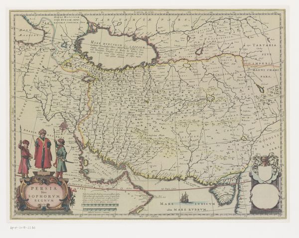
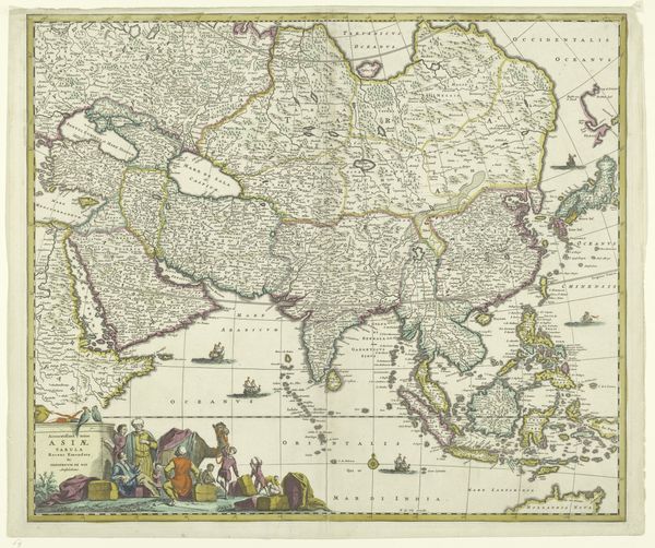
Pieter Schenk created this map of Tierra del Fuego sometime between 1690 and 1711, and it’s now held in the Rijksmuseum. Cartography was often an exercise in power, defining territories and claiming lands through representation. The map is filled with European projections and fantasies, evidenced by the inclusion of Patagonian giants. Indigenous people are depicted, but on the periphery. Their lives and customs are observed through a colonial lens, reducing them to exotic figures in a landscape being aggressively redefined by European powers. Schenk’s map isn’t just an attempt to chart a place; it’s a statement of cultural dominance, a visual assertion of control over a land and its people. While we look at this historical document, let's consider the layers of meaning embedded in its lines and images, and reflect on the complex interplay of power, knowledge, and representation.
Comments
No comments
Be the first to comment and join the conversation on the ultimate creative platform.
More like this