painting, watercolor
#
water colours
#
baroque
#
painting
#
landscape
#
watercolor
#
watercolour illustration
#
history-painting
#
watercolor
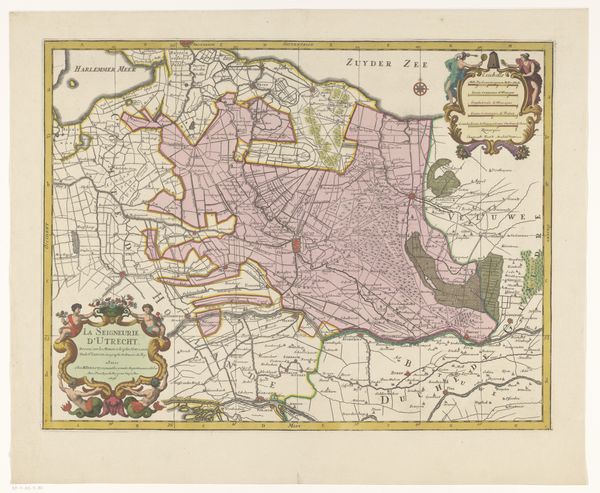
Dimensions: height 103 mm, width 150 mm, height 532 mm, width 320 mm
Copyright: Rijks Museum: Open Domain
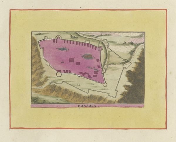
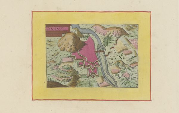
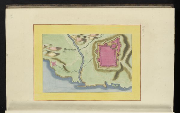
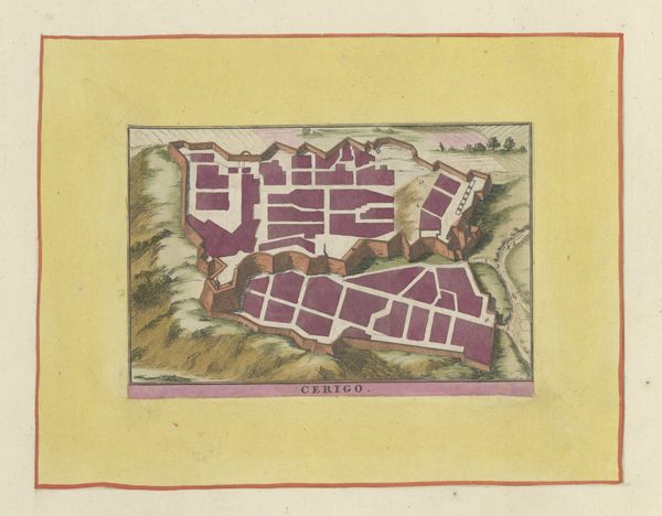
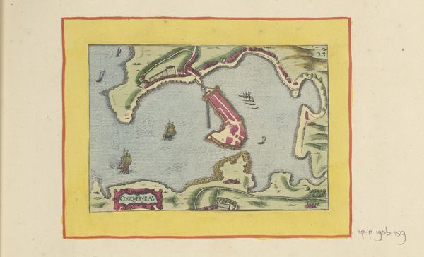
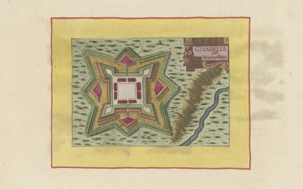
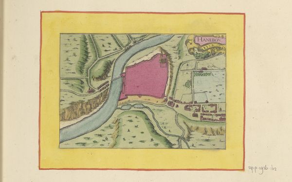
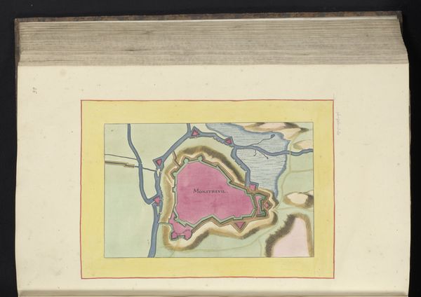
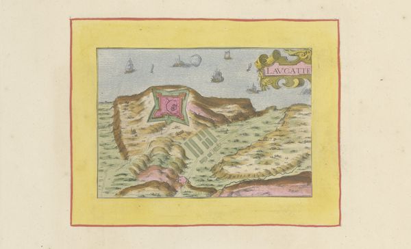
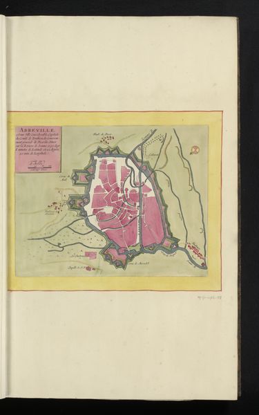
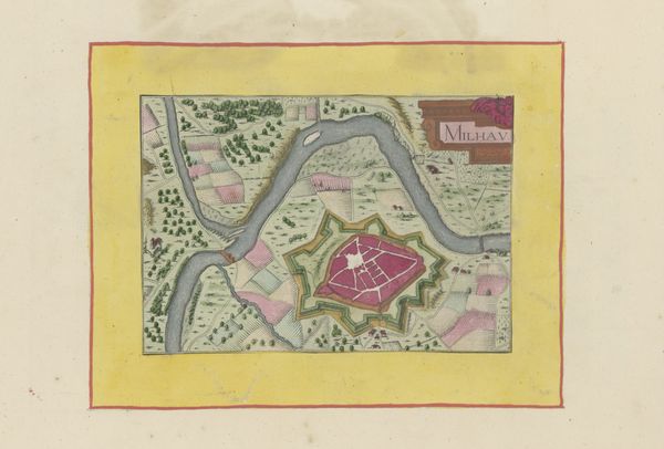
This is an anonymous plan of Mas d'Azil, created at an unknown date using pen and watercolor. This meticulously drafted and brightly colored map offers us a bird's-eye view into the historical and political landscape of early modern Europe. The very act of mapping was a political one. Maps weren’t just about geographical accuracy; they were tools of power, defining territories, asserting control, and shaping identities. This map invites us to consider how space, both physical and conceptual, is gendered. Who had the power to define and control territory, and whose experiences were erased in the process? The town is colored pink, a traditional feminine color which could be interpreted as either a symbol of power, or as a visual indicator of the gendered power dynamics at play in the act of mapping. Looking at this work, I think about the countless stories of those who lived, loved, and fought within these now-immobile lines. How can we unearth these stories and challenge the narratives of power that maps often perpetuate?
Comments
No comments
Be the first to comment and join the conversation on the ultimate creative platform.
More like this