drawing, print, paper, ink
#
drawing
# print
#
landscape
#
paper
#
ink
#
geometric
#
cityscape
#
history-painting
#
watercolor
Dimensions: height 105 mm, width 152 mm, height 532 mm, width 320 mm
Copyright: Rijks Museum: Open Domain
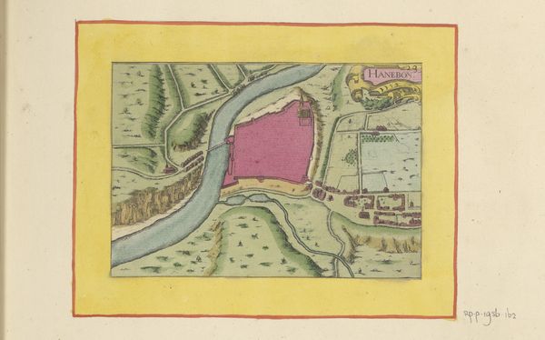
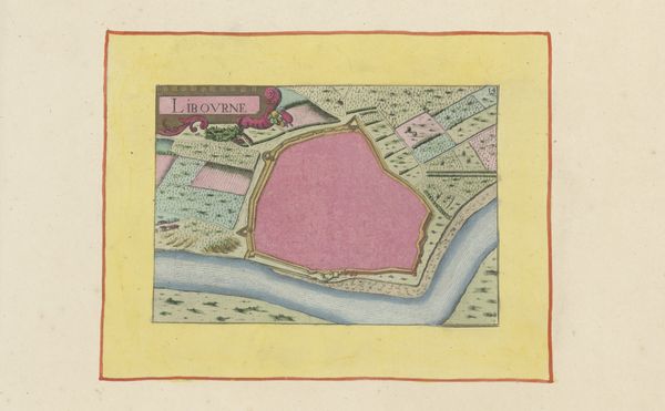
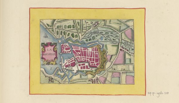
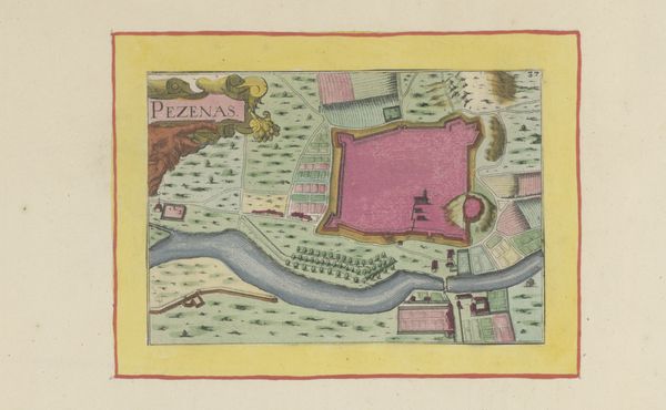
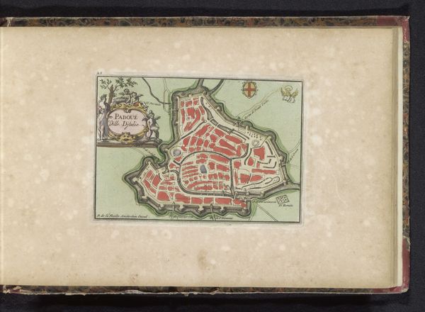
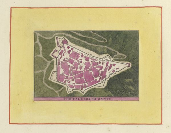
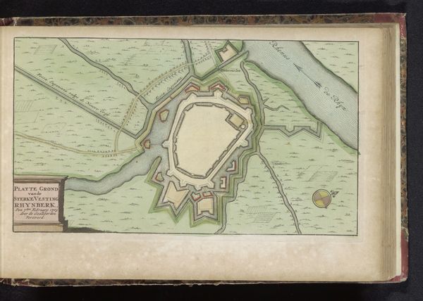
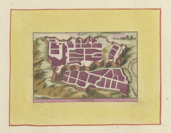
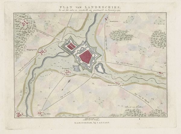
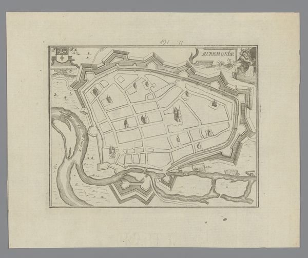
This is a map of Millau, made with ink on paper by an anonymous maker. It seems to be an official document, or perhaps a prototype for an engraving. The map’s precision is extraordinary. Observe how the ink creates sharp lines, defining architectural boundaries and landscape features. The watercolor washes delineate the river, fields, and the fortress walls, giving a sense of depth to the land. But even in this depiction, we can see labor and class at play. The map emphasizes defense and territory. Consider the labor involved in surveying, drawing, and coloring. This meticulous process indicates the importance of this information. The map thus embodies the complex relationship between power, knowledge, and the environment. By focusing on materiality, making, and context, we gain a fuller understanding of the artwork and its cultural significance.
Comments
No comments
Be the first to comment and join the conversation on the ultimate creative platform.
More like this