drawing, ink, engraving
#
drawing
#
baroque
#
pen sketch
#
old engraving style
#
ink
#
ink drawing experimentation
#
geometric
#
line
#
cityscape
#
engraving
Dimensions: height 279 mm, width 340 mm
Copyright: Rijks Museum: Open Domain
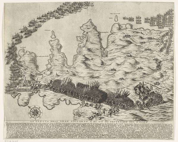
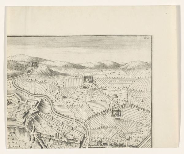
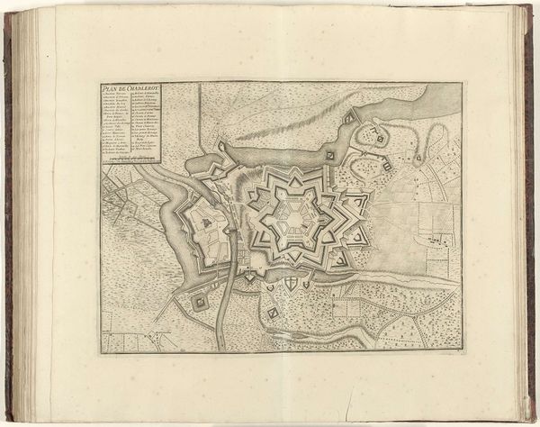
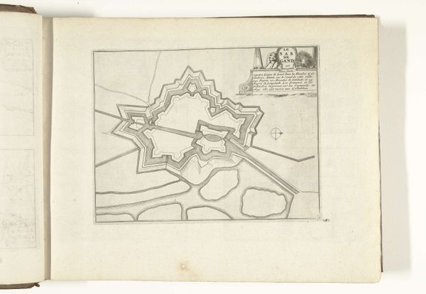
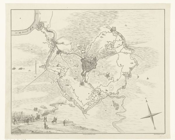
This is an undated, anonymous map of Bergamo created with etching. This detailed depiction provides insight into the city's urban planning and defensive strategies, reflecting a time when territorial control and military might shaped urban development. Cities, especially those strategically important like Bergamo, were at the crossroads of power, identity, and conflict. This map is not merely a representation of space; it embodies the complex layers of political ambition. The orderly layout of the city contrasts sharply with the natural landscape, emphasizing human attempts to dominate and control the environment. The rendering of fortifications speaks to the ever-present threat of invasion. The map invites us to consider who held the power to shape the city, and whose stories are often omitted from these official records. It serves as a reminder of the constant negotiation between those who build, those who defend, and those who inhabit a space.
Comments
No comments
Be the first to comment and join the conversation on the ultimate creative platform.
More like this